Mount William stone axe quarry
Map

Map

Facts and practical information
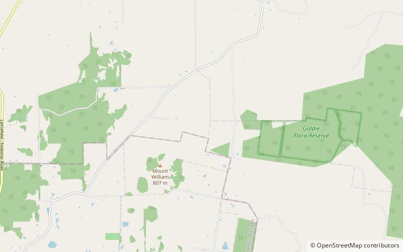
The Mount William stone axe quarry is an Aboriginal Australian archaeological site in Central Victoria, Australia. It is located 9 kilometres northeast of Lancefield, off Powells Track, 10 kilometres north of Romsey and 78 kilometres from Melbourne. Known as Wil-im-ee Moor-ring, meaning "axe place" in the Woiwurrung language, the greenstone quarry was an important source of raw material for the manufacture of greenstone ground-edge axes, which were traded over a wide area of south-east Australia. ()
Area: 44.38 acres (0.0693 mi²)Coordinates: 37°12'38"S, 144°48'36"E
Location
Victoria
ContactAdd
Social media
Add
Day trips
Mount William stone axe quarry – popular in the area (distance from the attraction)
Nearby attractions include: Lake Eildon National Park.

