Whiteman Park, Perth
Map
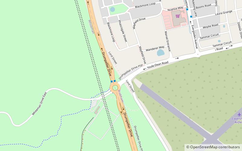
Map

Facts and practical information
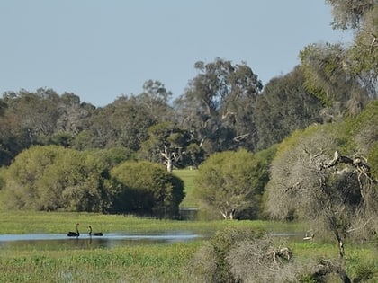
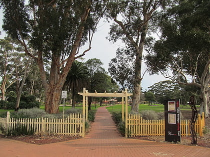
Whiteman Park is a 4,000-hectare bushland area located 22 km north of Perth, Western Australia. The park is in the suburb of Whiteman, in the Swan Valley in the upper reaches of the Swan River. ()
Elevation: 92 ft a.s.l.Coordinates: 31°50'2"S, 115°57'54"E
Day trips
Whiteman Park – popular in the area (distance from the attraction)
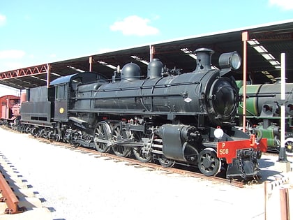
Nearby attractions include: Caversham Wildlife Park, Midland Gate, Stirling Square, Railway Museum.
Frequently Asked Questions (FAQ)
How to get to Whiteman Park by public transport?
The nearest stations to Whiteman Park:
Bus
Train
Bus
- Drumpellier Drive before Youle-Dean Road • Lines: 955 (1 min walk)
- Everglades Avenue after Boomi Road • Lines: 353 (10 min walk)
Train
- Mussel Pool (35 min walk)
