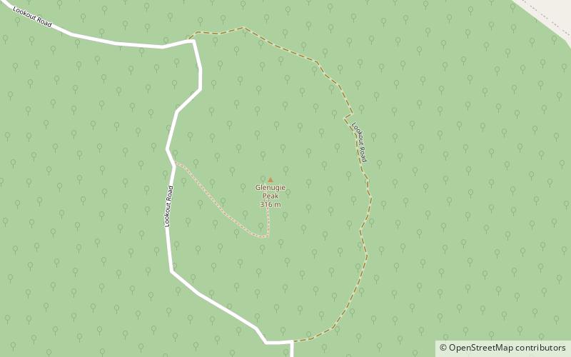
Glenugie Peak
Map

Map

Facts and practical information
Glenugie Peak, also known as Mount Elaine or as Glen Ugie Peak, a mountain that is part of the ridge surrounding the Clarence Moreton Basin, is situated in the Northern Rivers region of New South Wales, Australia. At an elevation of 316 metres above sea level, the mountain is located near the Pacific Highway, south of the town of Grafton and approximately 6 kilometres west north-west of the locality of Calamia. ()
Elevation: 1037 ftCoordinates: 29°50'2"S, 153°3'50"E
Location
New South Wales
ContactAdd
Social media
Add
