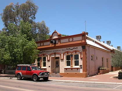
Shoemaker's House, Toodyay
Map
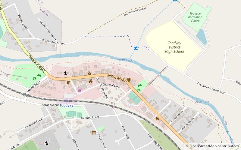
Map

Facts and practical information
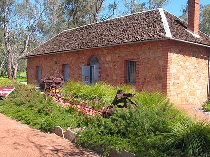
Shoemaker's House was constructed in the 1870s, in what is now Toodyay, Western Australia on Stirling Terrace. ()
Completed: 1870 (156 years ago)Coordinates: 31°32'60"S, 116°28'8"E
Address
Toodyay
ContactAdd
Social media
Add
Day trips
Shoemaker's House – popular in the area (distance from the attraction)
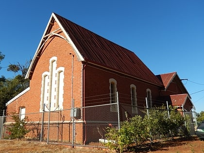
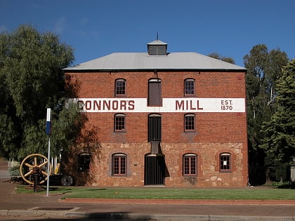
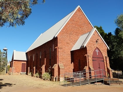
Nearby attractions include: Newcastle Gaol Museum, Old Newcastle School, Connor's Mill, St Stephen's Anglican Church.
Frequently Asked Questions (FAQ)
Which popular attractions are close to Shoemaker's House?
Nearby attractions include Toodyay Public Library, Toodyay (2 min walk), Toodyay Memorial Hall, Toodyay (4 min walk), Old Newcastle School, Toodyay (4 min walk), St Stephen's Anglican Church, Toodyay (7 min walk).
How to get to Shoemaker's House by public transport?
The nearest stations to Shoemaker's House:
Train
Train
- Toodyay (7 min walk)

