South West Mutton Bird Islet

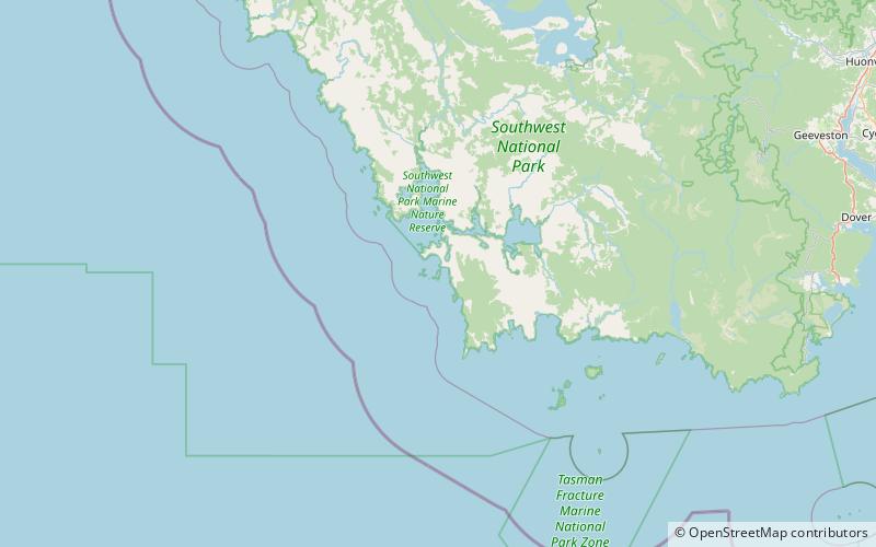
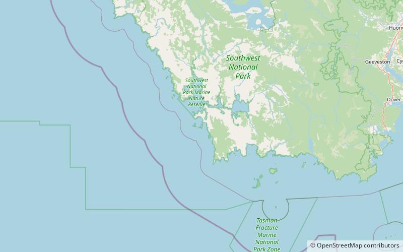
Map
Facts and practical information
South West Mutton Bird Islet is a dome-shaped unpopulated islet located close to the south-western coast of Tasmania, Australia. Situated some 2 kilometres south of where the mouth of Port Davey meets the Southern Ocean, the 0.52-hectare islet is one of the eight islands that comprise the Mutton Bird Islands Group. The South West Mutton Bird Islet is part of the Southwest National Park and the Tasmanian Wilderness World Heritage Site. ()
Maximum elevation: 92 ftArchipelago: Mutton Bird Islands GroupCoordinates: 43°25'1"S, 145°57'58"E
Location
Tasmania
ContactAdd
Social media
Add
Day trips
South West Mutton Bird Islet – popular in the area (distance from the attraction)
Nearby attractions include: Bathurst Channel, Mutton Bird Island.

