Stanthorpe Pottery Club, Stanthorpe
Map

Map

Facts and practical information
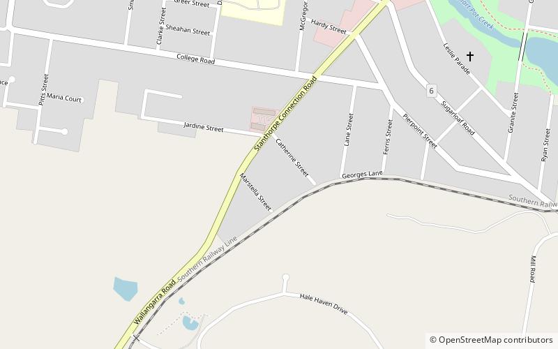
Stanthorpe Pottery Club (address: 47 Wallangarra Rd) is a place located in Stanthorpe (Queensland state) and belongs to the category of art gallery, specialty museum, art museum.
It is situated at an altitude of 2690 feet, and its geographical coordinates are 28°39'59"S latitude and 151°55'44"E longitude.
Among other places and attractions worth visiting in the area are: Quart Pot Creek Rail Bridge (bridge, 20 min walk), El Arish (park, 26 min walk), Stanthorpe Soldiers Memorial (memorial, 26 min walk).
Coordinates: 28°39'59"S, 151°55'44"E
Address
47 Wallangarra RdStanthorpe 4380
Contact
+61 7 4681 1878
Social media
Add
Day trips
Stanthorpe Pottery Club – popular in the area (distance from the attraction)
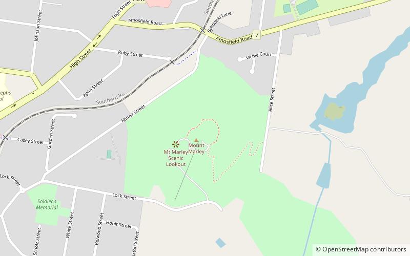
Nearby attractions include: Stanthorpe Soldiers Memorial, Mount Marlay, El Arish, Quart Pot Creek Rail Bridge.


