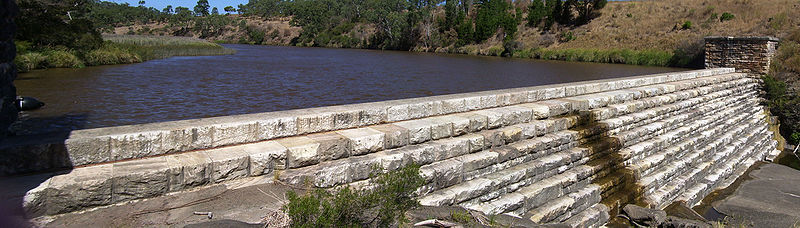
Clarendon Weir

Gallery (2)
Map
Map
Gallery
Facts and practical information
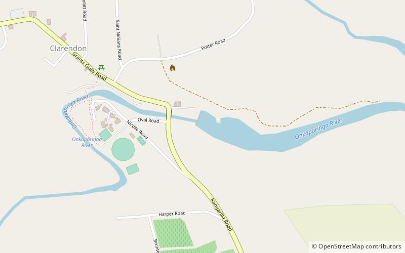
The Clarendon Weir is a weir in the Australian state of South Australia, located on the Onkaparinga River in the suburb of Clarendon, about 20 kilometres south of the Adelaide city centre. ()
Opened: 1896 (130 years ago)Height: 48 ftCoordinates: 35°6'43"S, 138°38'6"E
Location
South Australia
ContactAdd
Social media
Add
Day trips