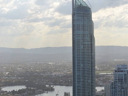
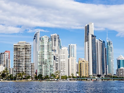
Capri on Via Roma, Gold Coast
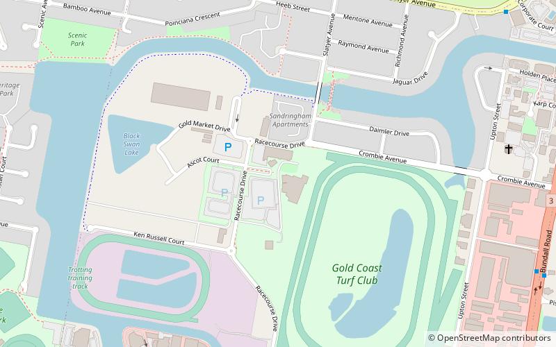
Map
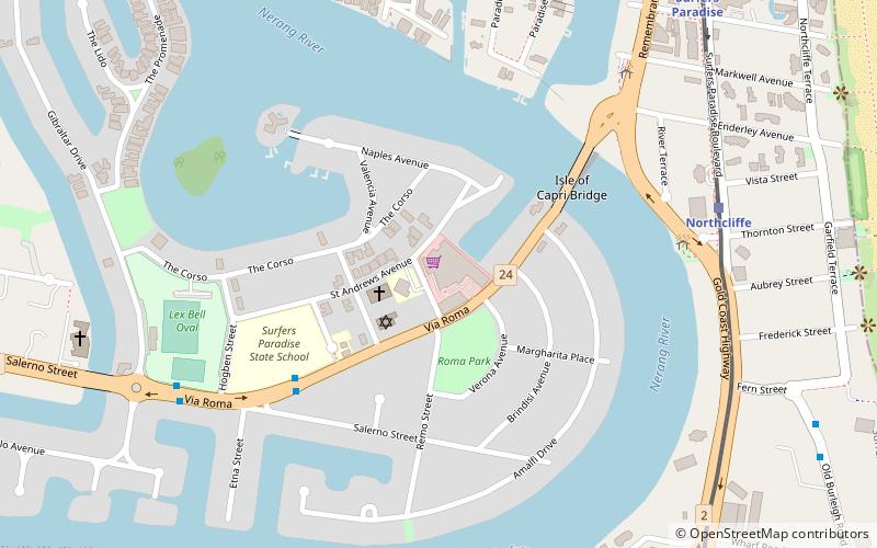
Map

Facts and practical information
Isle of Capri is a neighbourhood within the suburb of Surfers Paradise in the City of Gold Coast, Queensland, Australia. ()
Coordinates: 28°0'40"S, 153°25'26"E
Day trips
Capri on Via Roma – popular in the area (distance from the attraction)
Nearby attractions include: Gold Coast Convention and Exhibition Centre, Chevron Renaissance, Paradise Centre, Chevron Renaissance Shopping Centre.
Frequently Asked Questions (FAQ)
Which popular attractions are close to Capri on Via Roma?
Nearby attractions include 86 Salerno St, Gold Coast (12 min walk), Q1 Building, Gold Coast (13 min walk), Queensland Korean War Memorial, Gold Coast (17 min walk), AquaDuck, Gold Coast (18 min walk).
How to get to Capri on Via Roma by public transport?
The nearest stations to Capri on Via Roma:
Tram
Bus
Ferry
Tram
- Northcliffe Station • Lines: G:Link (9 min walk)
- Surfers Paradise Station • Lines: G:Link (12 min walk)
Bus
- Greyhound Bus Terminal Surfers Paradise (16 min walk)
Ferry
- HOTA, Home of the Arts • Lines: Hopo (22 min walk)


