Boondall Wetlands, Brisbane

Gallery (3)
Map
Map
Gallery
Facts and practical information
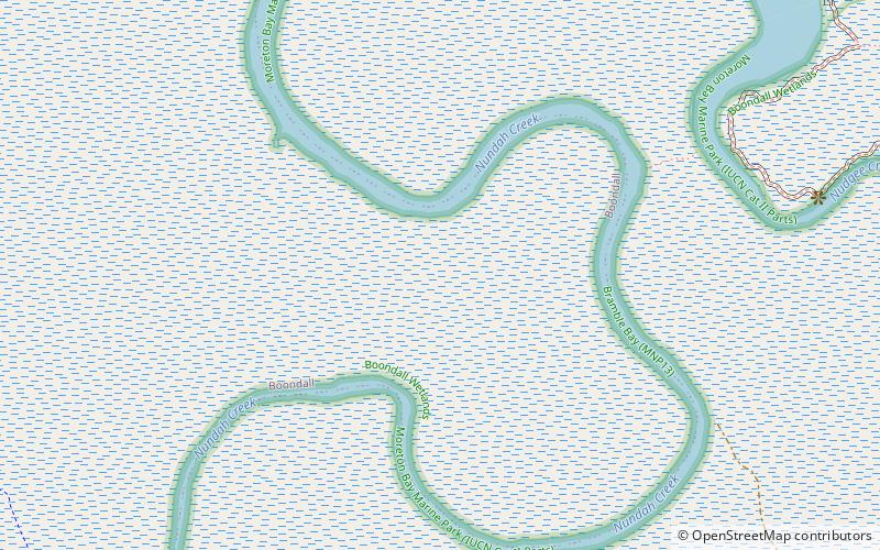
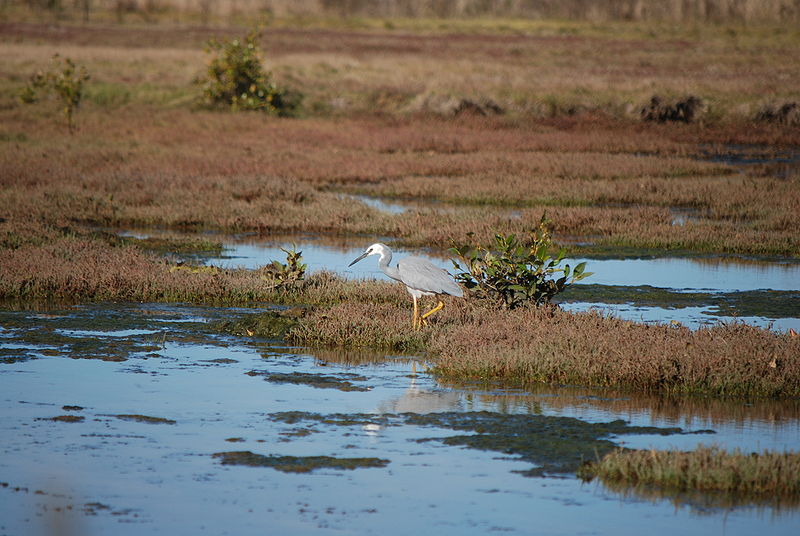
The Boondall Wetlands lie on the edge of Moreton Bay in the Brisbane suburb of Boondall between Nudgee Beach and Shorncliffe, in south-east Queensland, Australia. The wetlands are preserved within the Boondall Wetlands Reserve which was preserved in 1990 and covers more than 1100 hectares of internationally significant wetlands. ()
Elevation: 16 ft a.s.l.Coordinates: 27°20'48"S, 153°5'17"E
Day trips


