Duranbah Beach, Gold Coast
Map

Map

Facts and practical information
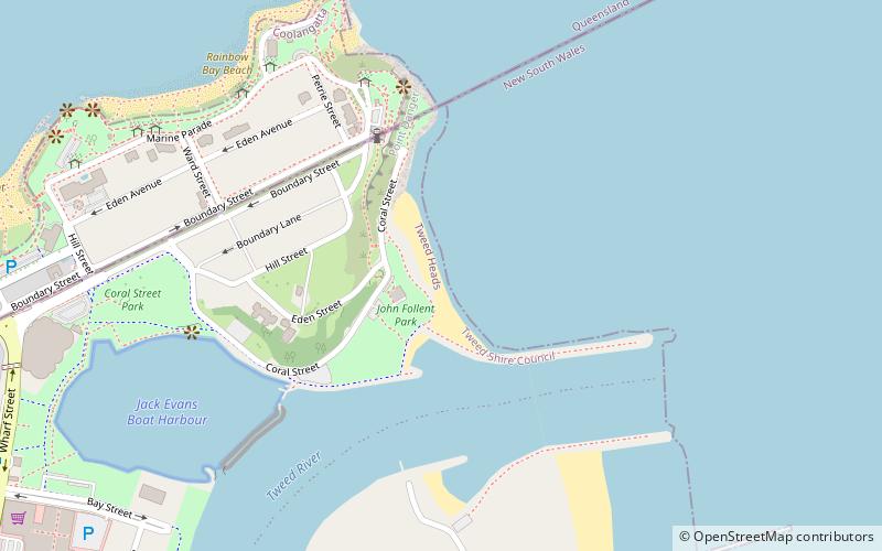
Duranbah Beach, officially known as Flagstaff Beach, is the northernmost beach in New South Wales. Located in the Tweed Shire, Duranbah Beach is situated between the mouth of the Tweed River and the rocky headland Point Danger which also marks the Queensland-New South Wales border. The beach is 350 meters in length with vegetated dunes running along 200 metres. The southern end of the beach features BBQs, sheltered picnic areas including a block of toilets and shower just behind it. ()
Coordinates: 28°10'3"S, 153°33'7"E
Address
Tweed HeadsGold Coast
ContactAdd
Social media
Add
Day trips
Duranbah Beach – popular in the area (distance from the attraction)
Nearby attractions include: Point Danger, Jazzland Coolangatta, Gold Coast/Tweed Heads, Snapper Rocks.
Frequently Asked Questions (FAQ)
Which popular attractions are close to Duranbah Beach?
Nearby attractions include Point Danger, Gold Coast (6 min walk), Eden Tower Apartments, Gold Coast (9 min walk), Snapper Rocks, Gold Coast (9 min walk), Rainbow Bay, Gold Coast (12 min walk).


