Windsor, Sydney
Map

Map

Facts and practical information
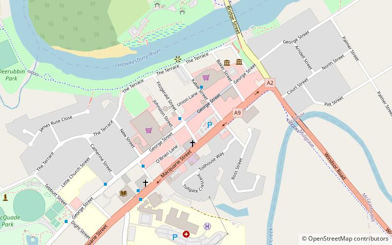
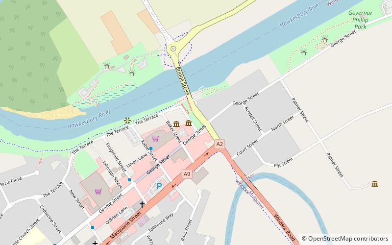
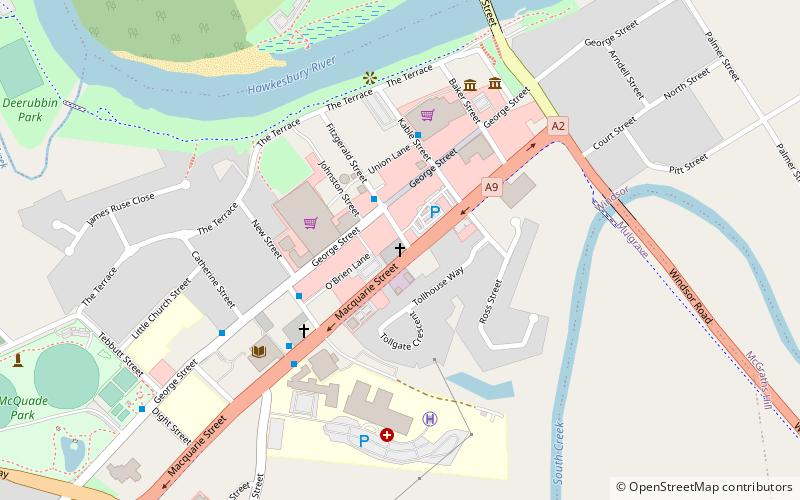
Windsor is a historic town north-west of Sydney, New South Wales, Australia. It is in the Hawkesbury local government area. The town sits on the Hawkesbury River, enveloped by farmland and Australian bush. Many of the oldest surviving European buildings in Australia are located at Windsor. It is 46 kilometres north-west of metropolitan Sydney, on the fringes of urban sprawl. ()
Address
Baulkham Hills (Windsor)Sydney
ContactAdd
Social media
Add
Day trips
Windsor – popular in the area (distance from the attraction)
Nearby attractions include: Thompson Square, Macquarie Arms Hotel, Windsor Uniting Church, Thompson Square Conservation Area.
Frequently Asked Questions (FAQ)
Which popular attractions are close to Windsor?
Nearby attractions include Loder House, Sydney (2 min walk), Windsor Bridge, Sydney (16 min walk).
How to get to Windsor by public transport?
The nearest stations to Windsor:
Bus
Train
Bus
- 2756425 • Lines: 661 (5 min walk)
- Windsor Station, Stand A • Lines: 608, 661, 668 (19 min walk)
Train
- Windsor (19 min walk)

 Sydney Trains
 Sydney Light Rail
 Sydney Ferries


