Yanga National Park
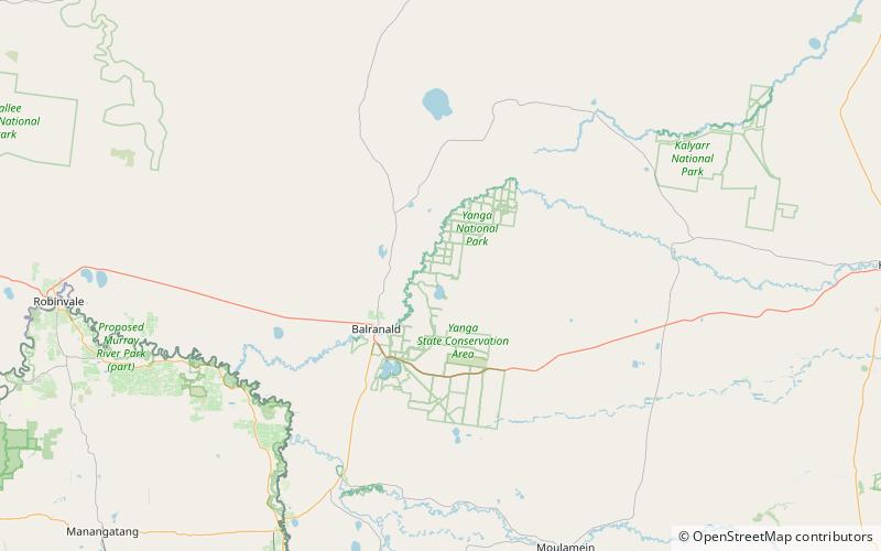
Map
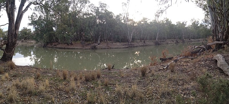
Gallery
Facts and practical information
The Yanga National Park is a newly formed national park, located near the township of Balranald in south- western New South Wales. It covers an area of 66,734 hectares which includes 1,932 hectares of Yanga Nature Reserve, and has a frontage of 170 kilometres on the Murrumbidgee River. It is largely located in the Lower Murrumbidgee Floodplain, which is included on A Directory of Important Wetlands in Australia because of its importance as a breeding site for waterbirds when flooded. ()
Alternative names: Established: 2007 (19 years ago)Area: 1204.25 mi²Elevation: 236 ft a.s.l.Coordinates: 34°31'51"S, 143°43'37"E
Location
New South Wales
ContactAdd
Social media
Add
Best Ways to Experience the Park
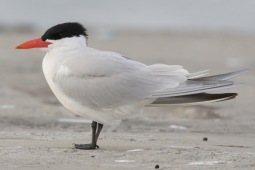
Wildlife
AnimalsSee what popular animal species you can meet in this location.
More
Show more

