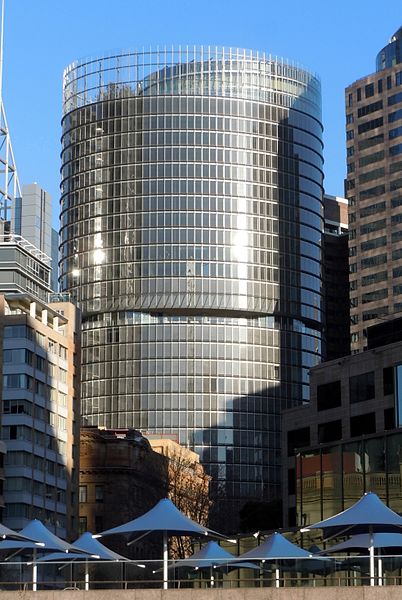
1 Bligh Street, Sydney
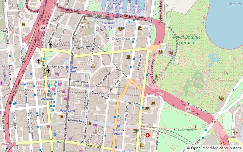
Map

Gallery

Facts and practical information
Opened: 2011 (15 years ago)Floors: 30Coordinates: 33°51'54"S, 151°12'40"E
Address
1 Bligh StreetCentral Business District (Sydney City Center)Sydney
Contact
Social media
Add
Day trips
1 Bligh Street – popular in the area (distance from the attraction)
Nearby attractions include: Museum of Sydney, First Government House, St Stephen's Uniting Church, MLC Building.
Frequently Asked Questions (FAQ)
Which popular attractions are close to 1 Bligh Street?
Nearby attractions include Governor Phillip Tower, Sydney (2 min walk), Aurora Place, Sydney (2 min walk), Macquarie Street, Sydney (2 min walk), Museum of Sydney, Sydney (2 min walk).
How to get to 1 Bligh Street by public transport?
The nearest stations to 1 Bligh Street:
Bus
Train
Light rail
Ferry
Bus
- Museum of Sydney • Lines: M52 (2 min walk)
- Royal Botanic Gardens • Lines: 200 (3 min walk)
Train
- Martin Place (6 min walk)
- Circular Quay (7 min walk)
Light rail
- Bridge Street • Lines: L2, L3 (6 min walk)
- Circular Quay • Lines: L2, L3 (7 min walk)
Ferry
- Circular Quay Wharf 3 • Lines: F1 (8 min walk)
- Circular Quay Wharf 2 • Lines: F2, F7 (8 min walk)

 Sydney Trains
 Sydney Light Rail
 Sydney Ferries


