Mount Dale

Gallery (1)
Map
Map
Facts and practical information
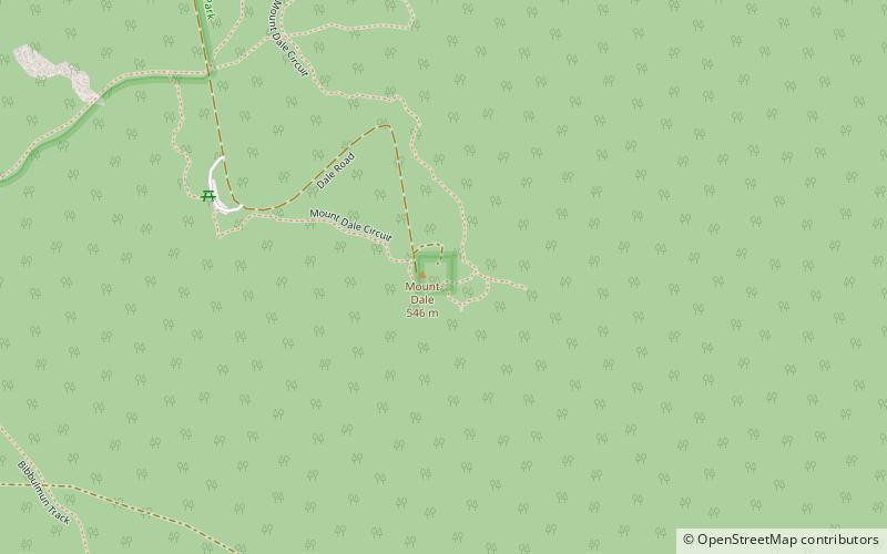
Mount Dale is a mountain in Western Australia about 25 km east of Armadale in the Shire of Beverley. At 546 m high, it is one of the highest points in the Darling Scarp. ()
Elevation: 1791 ftCoordinates: 32°7'35"S, 116°18'0"E
Location
Western Australia
ContactAdd
Social media
Add