Victoria Street, Melbourne
Map
Gallery
Facts and practical information
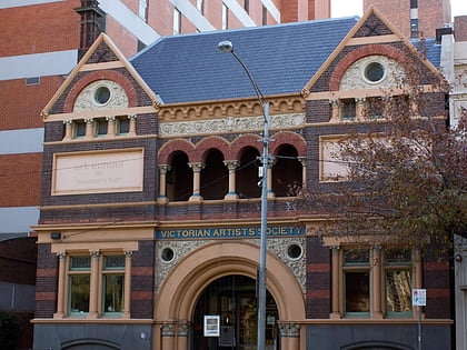
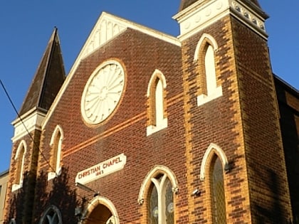
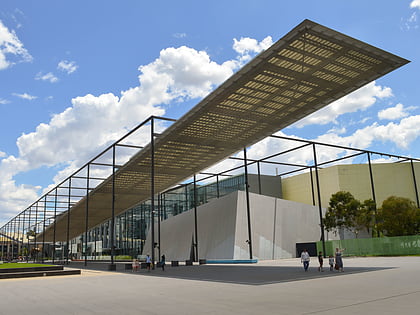
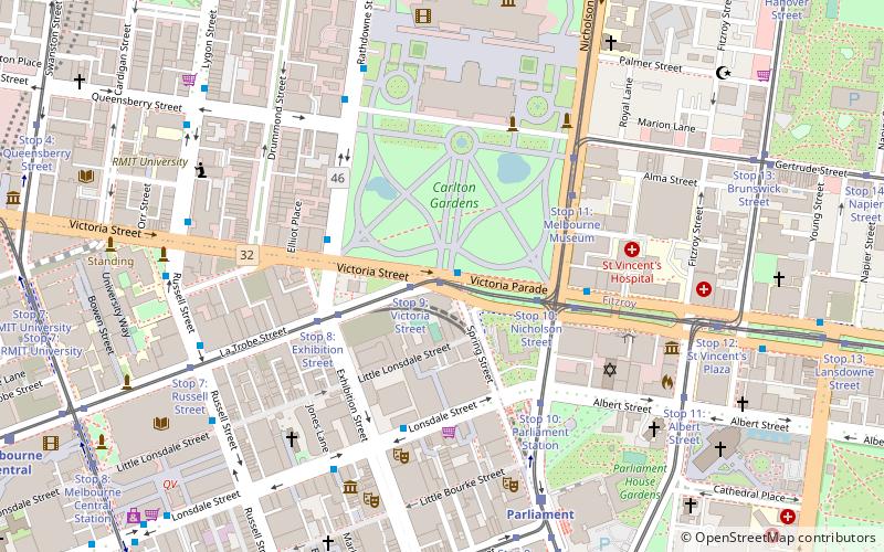
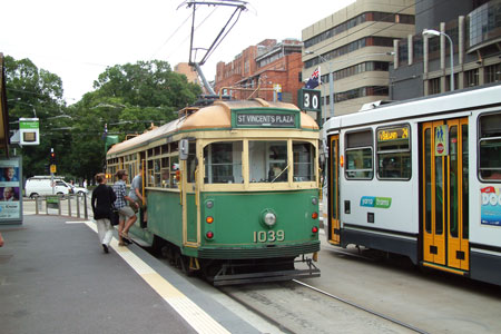
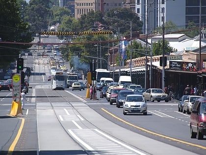
Victoria Street is one of the major thoroughfares of inner Melbourne, running east–west for over six kilometres between Munster Terrace in North Melbourne and the Yarra River. The road is known as Victoria Parade for over one-and-a-half kilometres of its length, distinguishable with a wide reservation and tramway down the middle. ()
Coordinates: 37°48'27"S, 144°58'16"E
Day trips
Victoria Street – popular in the area (distance from the attraction)
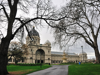
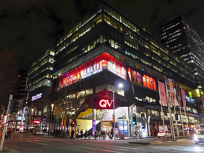
Nearby attractions include: Melbourne Museum, Royal Exhibition Building, Carlton Gardens, Queen Victoria Village.
Frequently Asked Questions (FAQ)
Which popular attractions are close to Victoria Street?
Nearby attractions include Telstra Corporate Centre, Melbourne (4 min walk), ICI House, Melbourne (5 min walk), Royal Exhibition Building, Melbourne (5 min walk), Melbourne City Synagogue, Melbourne (5 min walk).
How to get to Victoria Street by public transport?
The nearest stations to Victoria Street:
Tram
Bus
Train
Tram
- Stop 9: La Trobe Street • Lines: 30, 30d, 35 (1 min walk)
- Stop 9: Victoria Street • Lines: 30, 35 (1 min walk)
Bus
- Carlton Gardens/Victoria Street • Lines: 402 (1 min walk)
- Royal Australasian College of Surgeons/Victoria Parade • Lines: 303, 350 (3 min walk)
Train
- Parliament (7 min walk)
- Melbourne Central (13 min walk)
 Melbourne Trams
 Victoria Trains

