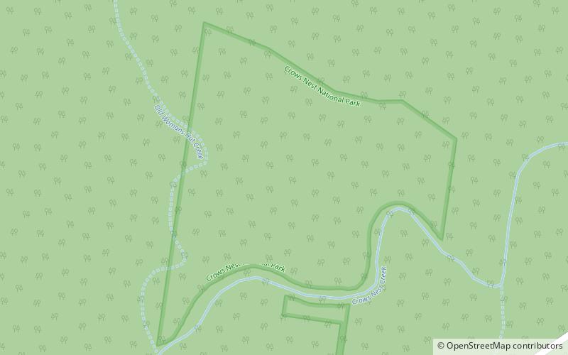
Crows Nest National Park
Map

Map

Facts and practical information
Crows Nest National Park is a national park on the edge of the Darling Downs of southern Queensland, Australia. It is divided into a number of sections which are located in both Crows Nest and Grapetree, 40 km west of Esk in the South East Queensland bioregion. A 236 ha national park was first declared in 1967. The park has been extended south along the Great Dividing Range and now covers 17.9 km2. The average elevation of the terrain is 503 meters. ()
Day trips
Crows Nest National Park – popular in the area (distance from the attraction)
Nearby attractions include: Pechey Forestry Arboretum.

