Mount Franklin
Map

Map

Facts and practical information
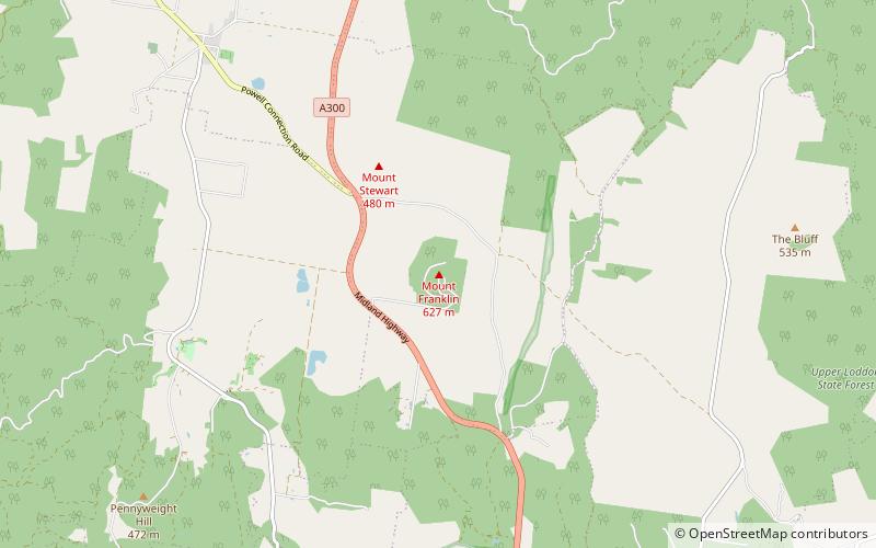
Mount Franklin is an extinct volcano about 10 km north of Daylesford and 4.6 km south east of Franklinford in Victoria, Australia. A road spirals round the outside slopes covered with pine trees, into a flat 50 acre caldera, now used as a camping ground, and onto the rim which hosts a fire lookout, parking area and picnic ground. ()
Elevation: 2126 ftProminence: 886 ftCoordinates: 37°15'50"S, 144°8'60"E
Location
Mt Franklin RdMt Franklin 3461 Victoria
ContactAdd
Social media
Add
Day trips
Mount Franklin – popular in the area (distance from the attraction)
Nearby attractions include: Castlemaine Diggings National Heritage Park, Daylesford Spa Country Railway, Convent Gallery, Wombat Hill Botanic Gardens.


