Melbourne central business district, Melbourne
Map
Gallery
Facts and practical information
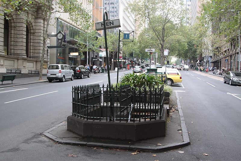
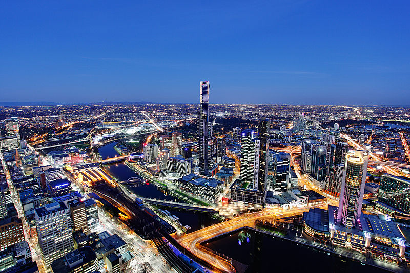
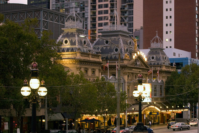
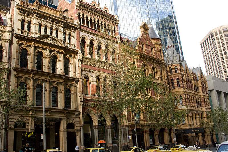
The Melbourne central business district is the city centre and main urban area of the city of Melbourne, Victoria, Australia, centred on the Hoddle Grid, the oldest part of the city laid out in 1837, and includes its fringes. It is not to be confused with the larger local government area of the City of Melbourne which includes this area and the inner suburbs around it. ()
Coordinates: 37°48'50"S, 144°57'47"E
Address
City of Melbourne (Melbourne CBD)Melbourne
ContactAdd
Social media
Add
Day trips
Melbourne central business district – popular in the area (distance from the attraction)
Nearby attractions include: Bourke Street Mall, Emporium Melbourne, Royal Arcade, Block Arcade.
Frequently Asked Questions (FAQ)
Which popular attractions are close to Melbourne central business district?
Nearby attractions include Hoddle Grid, Melbourne (1 min walk), Little Bourke Street, Melbourne (1 min walk), Parks and gardens of Melbourne, Melbourne (2 min walk), Causeway Lane, Melbourne (2 min walk).
How to get to Melbourne central business district by public transport?
The nearest stations to Melbourne central business district:
Tram
Bus
Train
Ferry
Tram
- Stop 3: Bourke Street Mall • Lines: 19, 57, 59, 59d (1 min walk)
- Stop 5: Bourke Street Mall • Lines: 86, 86a, 86d, 96, 96d (1 min walk)
Bus
- Elizabeth Street/Lonsdale Street • Lines: 200, 207, 250, 251, 303, 350 (4 min walk)
- Little Bourke Street/Queen Street • Lines: 200, 207, 250, 251, 303, 350 (4 min walk)
Train
- Melbourne Central (7 min walk)
- Flinders Street (10 min walk)
Ferry
- Port Phillip Ferries (26 min walk)



 Melbourne Trams
 Victoria Trains


