Anzac Bridge, Sydney
Map
Gallery
Facts and practical information
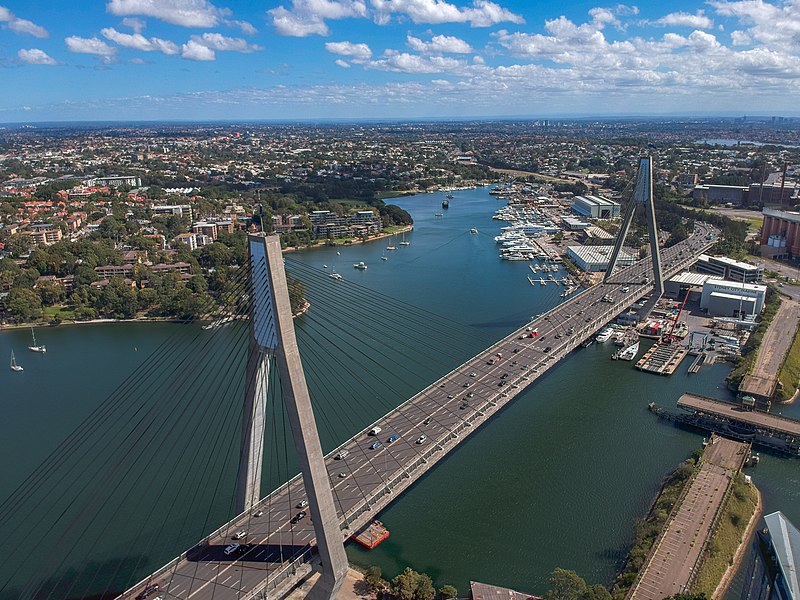
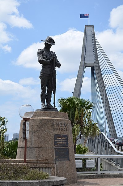
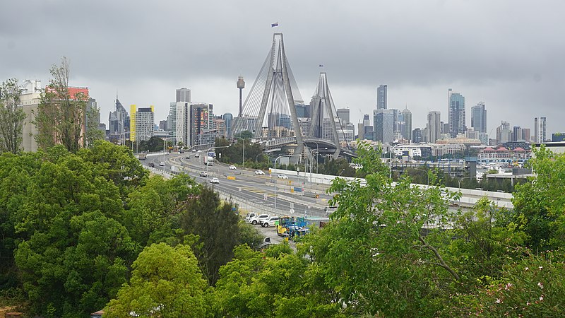
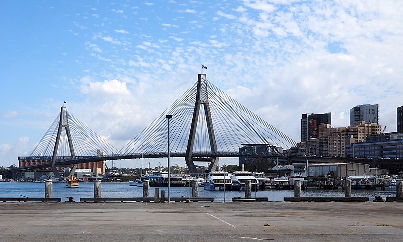
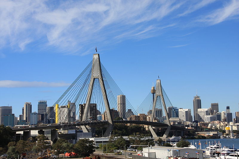
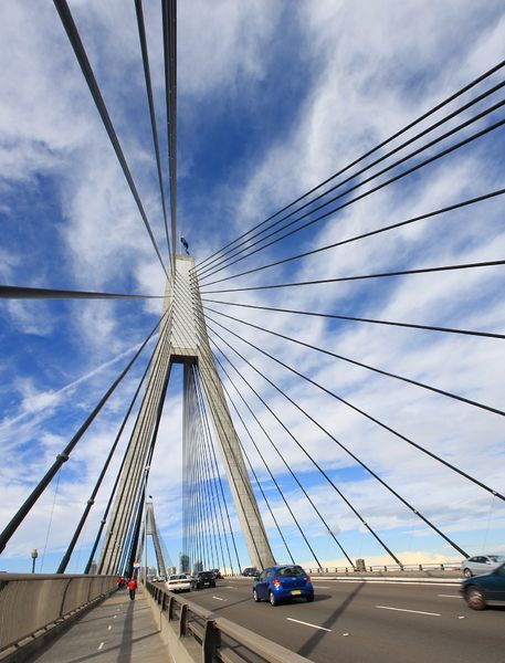
The Anzac Bridge is an eight-lane cable-stayed bridge that carries the Western Distributor across Johnstons Bay between Pyrmont and Glebe Island, on the western fringe of the central business district of Sydney, New South Wales, Australia. The bridge forms part of the road network leading from the central business district, the Sydney Harbour Bridge, and Cross City Tunnel to the Inner West and Northern Suburbs. ()
Day trips
Anzac Bridge – popular in the area (distance from the attraction)
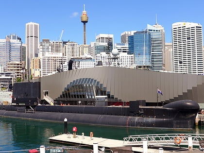
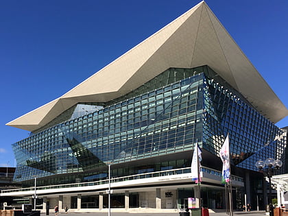
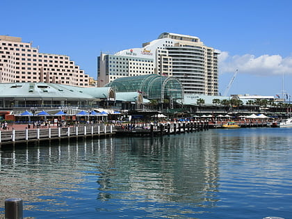
Nearby attractions include: Australian National Maritime Museum, Rozelle Tram Depot, International Convention Centre Sydney, Harbourside Shopping Centre.
Frequently Asked Questions (FAQ)
Which popular attractions are close to Anzac Bridge?
Nearby attractions include Glebe Island Bridge, Sydney (2 min walk), Sydney Fish Market, Sydney (5 min walk), Sydney Superyacht Marina, Sydney (8 min walk), Blackwattle Bay, Sydney (8 min walk).
How to get to Anzac Bridge by public transport?
The nearest stations to Anzac Bridge:
Ferry
Bus
Light rail
Train
Ferry
- Blackwattle Bay Wharf (5 min walk)
- Pyrmont Bay Wharf • Lines: F4, Ferry (21 min walk)
Bus
- Glebe Point Rd at Leichardt St • Lines: 431 (10 min walk)
Light rail
- John Street Square • Lines: L1 (11 min walk)
- Fish Market • Lines: L1 (12 min walk)
Train
- Central (41 min walk)



 Sydney Trains
 Sydney Light Rail
 Sydney Ferries