Grahamstown Dam

Map
Facts and practical information
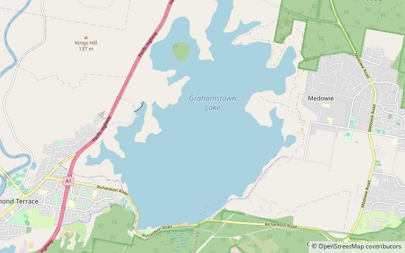
Grahamstown Dam is a major off-stream earthfill Embankment dam with a controlled labyrinth spillway and baffle chute that stores water from the Williams River. The dam is located north of Newcastle and within the Port Stephens Council local government area in the Lower Hunter Region of New South Wales, Australia. The dam's main purpose is water supply; it provides about 40 per cent of the potable water for the Hunter region; and is the Hunter's largest drinking water supply dam. ()
Opened: 1969 (57 years ago)Length: 2.98 miHeight: 39 ftReservoir area: 9.5 mi²Elevation: 26 ft a.s.l.Coordinates: 32°44'23"S, 151°48'40"E
Day trips
Grahamstown Dam – popular in the area (distance from the attraction)
Nearby attractions include: Fighter World, Raymond Terrace, Medowie.


