Athol Park, Adelaide
Map

Map

Facts and practical information
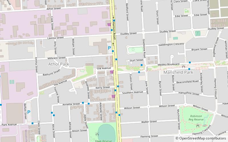
Athol Park is a north-western suburb of Adelaide, South Australia. It is located in the City of Charles Sturt. ()
Coordinates: 34°51'23"S, 138°32'49"E
Address
Athol ParkAdelaide
ContactAdd
Social media
Add
Day trips
Athol Park – popular in the area (distance from the attraction)
Nearby attractions include: Armada Arndale, Cheltenham Cemetery, Kilkenny, Mikawomma Reserve.
Frequently Asked Questions (FAQ)
Which popular attractions are close to Athol Park?
Nearby attractions include Mikawomma Reserve, Adelaide (20 min walk), Pháp Hoa Temple, Adelaide (21 min walk), Greyhound Park, Adelaide (24 min walk).
How to get to Athol Park by public transport?
The nearest stations to Athol Park:
Bus
Train
Bus
- Stop 29 Hanson Road - East side • Lines: 253X (2 min walk)
- Stop 28A Hanson Road - East side • Lines: 253X (5 min walk)
Train
- St Clair (36 min walk)


