Frenchmans Cap National Park, Franklin-Gordon Wild Rivers National Park

Map
Facts and practical information
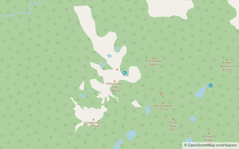
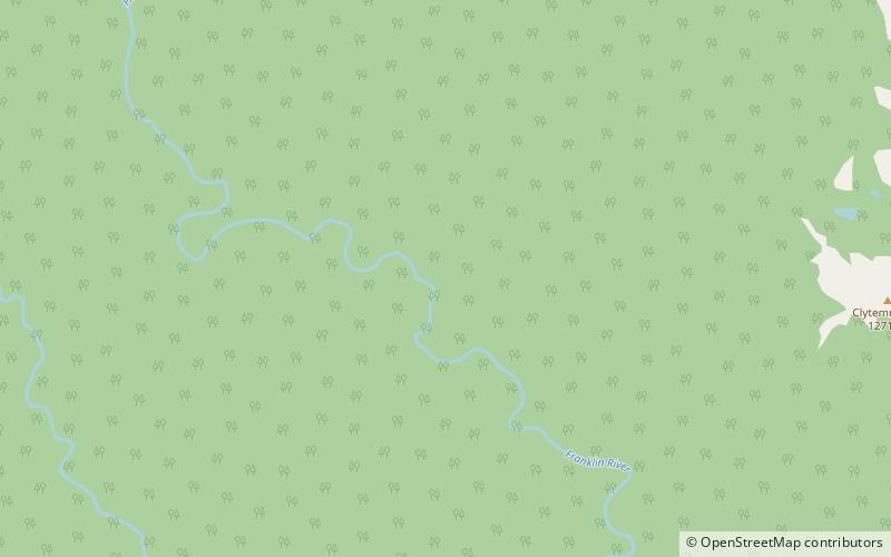
Frenchmans Cap National Park was a Tasmanian national park that used the course of the Franklin River around the lower reaches of Frenchmans Cap and adjacent mountains and ridges as its boundary between 1941 and the 1990s. ()
Coordinates: 42°16'0"S, 145°49'59"E
Address
Franklin-Gordon Wild Rivers National Park
ContactAdd
Social media
Add
Day trips
Frenchmans Cap National Park – popular in the area (distance from the attraction)
Nearby attractions include: Frenchmans Cap, Engineer Range.

