Black Bulga State Conservation Area
Map
Map

Facts and practical information
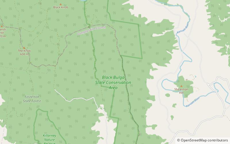
The Black Bulga State Conservation Area is a protected conservation area located near the Barrington Tops, in the Hunter Region of New South Wales, Australia. The 1,554-hectare conservation area is situated 16 kilometres from Dungog, and used to be part of Trevor State Forest and Chichester State Forest. ()
Established: 2003 (23 years ago)Elevation: 1319 ft a.s.l.Coordinates: 32°16'2"S, 151°48'29"E
Best Ways to Experience the Park
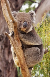
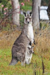
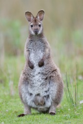
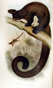
Wildlife
AnimalsSee what popular animal species you can meet in this location.
More

