Boundary Island, Mandurah

Gallery (1)
Map
Map
Facts and practical information
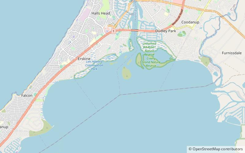
Boundary Island is located in the Peel Inlet section of the Peel-Harvey Estuarine System, just south of Mandurah, Western Australia, about 80 km south of Perth. ()
Coordinates: 32°34'15"S, 115°42'40"E
Address
Mandurah
ContactAdd
Social media
Add
Day trips