Bill Gunn Dam
Map

Map

Facts and practical information
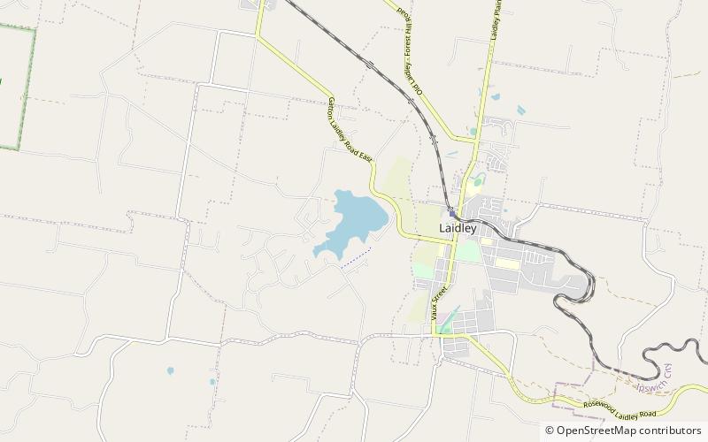
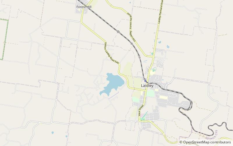
The Bill Gunn Dam is an earth-fill embankment dam with an un-gated spillway located off-stream in Laidley Heights in the South East region of Queensland, Australia. The main purpose of the dam is for irrigation of the Lockyer Valley. The resultant reservoir is called Lake Dyer. ()
Opened: 1987 (39 years ago)Length: 3806 ftHeight: 59 ftReservoir area: 0.39 mi²Reservoir depth: 35 ftCoordinates: 27°37'46"S, 152°22'26"E
Day trips
Bill Gunn Dam – popular in the area (distance from the attraction)
Nearby attractions include: Forest Hill War Memorial, Laidley Golf Club.


