St James' Hall, Sydney

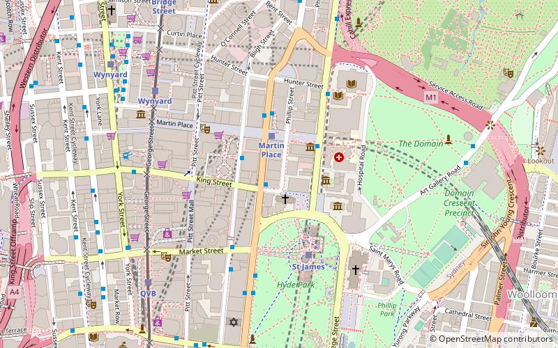
Map
Facts and practical information
St James' Hall, sometimes written as St James's Hall, was a building which stood at 171 Phillip Street, Sydney, near King Street. It figured prominently in the history of small theatre in Australia. Owned by, and on the same parcel of land as St James' Church of England, it was close to tram and bus services and the St James railway station. ()
Coordinates: 33°52'8"S, 151°12'40"E
Address
Central Business District (Martin Place)Sydney
ContactAdd
Social media
Add
Day trips
St James' Hall – popular in the area (distance from the attraction)
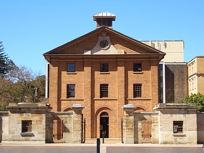
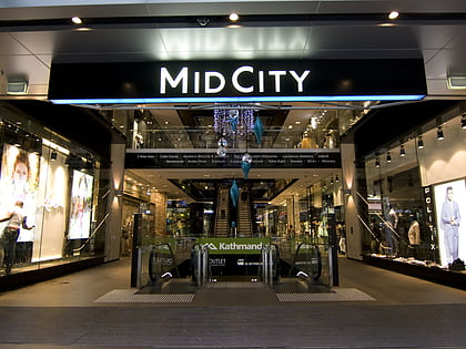
Nearby attractions include: Westfield Sydney, Hyde Park Barracks, The Strand Arcade, St James' Church.
Frequently Asked Questions (FAQ)
Which popular attractions are close to St James' Hall?
Nearby attractions include GIO Building, Sydney (1 min walk), Children's Chapel, Sydney (2 min walk), St James' Church, Sydney (2 min walk), Old Registry Wing, Sydney (2 min walk).
How to get to St James' Hall by public transport?
The nearest stations to St James' Hall:
Bus
Train
Light rail
Ferry
Bus
- Stand E, Martin Place, Elizabeth Street • Lines: M52 (1 min walk)
- Stand G, Martin Place, Castlereagh St • Lines: 431 (2 min walk)
Train
- Martin Place (2 min walk)
- St James (4 min walk)
Light rail
- Wynyard • Lines: L2, L3 (7 min walk)
- Qvb • Lines: L2, L3 (8 min walk)
Ferry
- Circular Quay Wharf 2 • Lines: F2, F7 (15 min walk)
- Circular Quay Wharf 3 • Lines: F1 (15 min walk)
 Sydney Trains
 Sydney Light Rail
 Sydney Ferries


