Ash Wednesday Bushfire Education Centre, Cockatoo

Gallery (1)
Map
Map
Facts and practical information
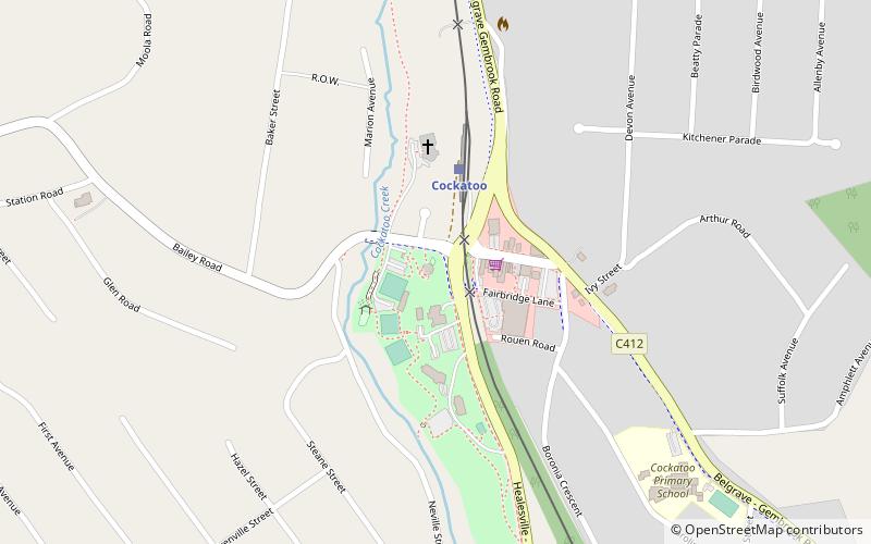
Ash Wednesday Bushfire Education Centre (address: 2 McBride Street) is a place located in Cockatoo (Victoria state) and belongs to the category of museum.
It is situated at an altitude of 614 feet, and its geographical coordinates are 37°56'10"S latitude and 145°29'28"E longitude.
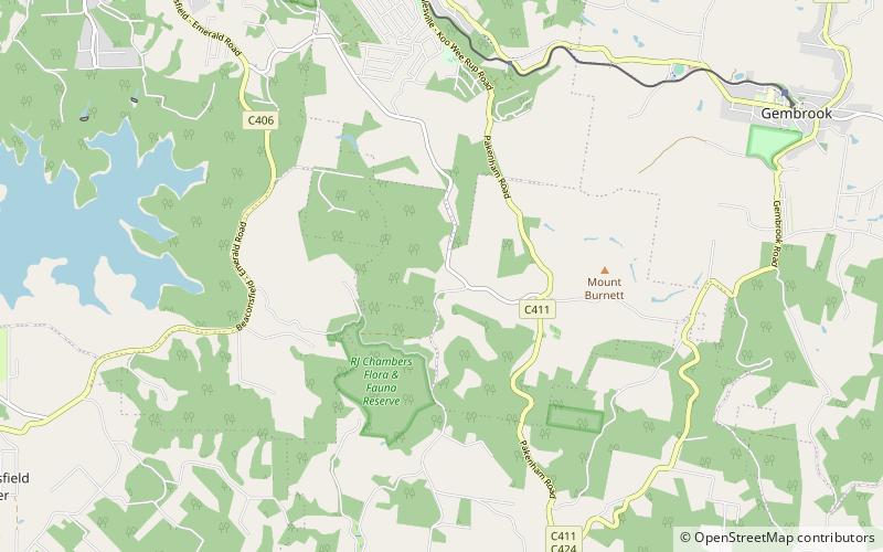
Among other places and attractions worth visiting in the area are: Emerald (locality, 65 min walk), Mount Burnett Observatory (observatories and planetariums, 65 min walk), Gembrook (town, 89 min walk).
Coordinates: 37°56'10"S, 145°29'28"E
Day trips