Coocumbac Island Nature Reserve

Gallery (1)
Map
Map
Facts and practical information
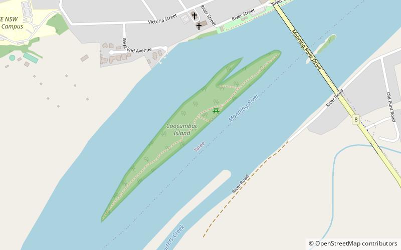
The Coocumbac Island Nature Reserve is a protected nature reserve located in the mid–north coast region of New South Wales, Australia. The 6-hectare reserve, situated on the Manning River near Taree, is a rare example of a subtropical lowland rainforest. ()
Established: September 1981 (44 years ago)Elevation: 46 ft a.s.l.Coordinates: 31°55'15"S, 152°27'18"E
Day trips
Coocumbac Island Nature Reserve – popular in the area (distance from the attraction)
Nearby attractions include: Martin Bridge, Not A Café, Taree, St Andrew's Presbyterian Church.


