Sorell Causeway

Gallery (1)
Map
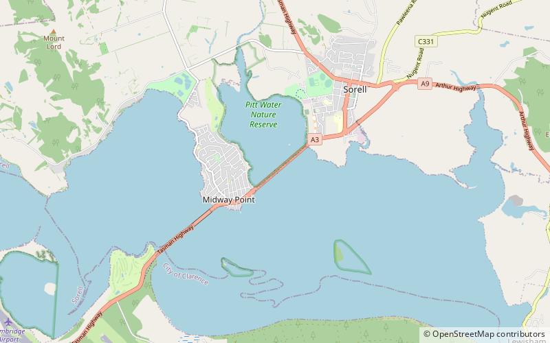
Map
Facts and practical information
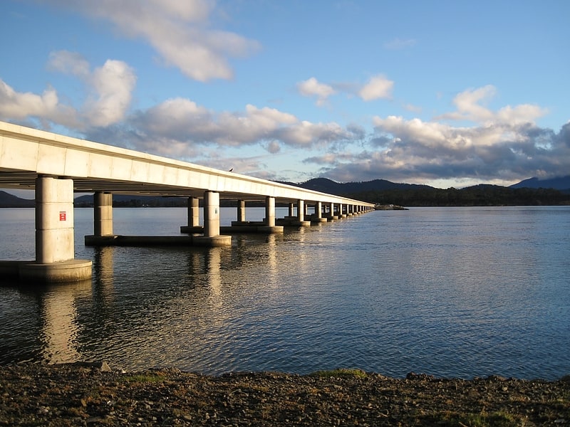
The Sorell Causeway is a causeway that carries the Tasman Highway across Orielton Lagoon and Pitt Water, from the western side of Midway Point to Sorell in the south-east of Tasmania, Australia. The causeway and adjacent Mcgees Bridge provide vital links between Hobart and two of Tasmania's principal tourist attractions - Port Arthur Historic Site on the Tasman Peninsula and the picturesque East Coast via the Tasman Highway. ()
Day trips