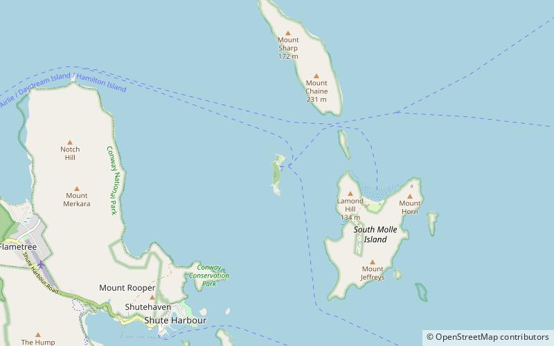
Daydream Island, Airlie Beach
Map

Map

Facts and practical information
Daydream Island is one of seven islands of the Molle Group, a sub-group of the Whitsunday Islands in Queensland, Australia. The island is small, measuring 1 km in length and 400 m at its widest point. The highest point on the island is 51 metres above sea level. ()
Alternative names: Maximum elevation: 167 ftArchipelago: Molle IslandsCoordinates: 20°15'19"S, 148°48'50"E
Address
Airlie Beach
ContactAdd
Social media
Add
Day trips
Daydream Island – popular in the area (distance from the attraction)
Nearby attractions include: Shute Harbour, Flametree, Mount Rooper.


