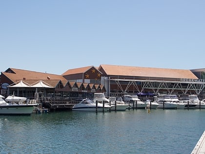
Whitford Development Scheme, Perth
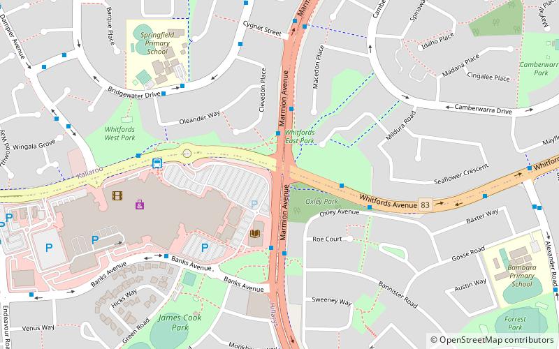
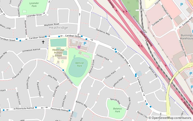
Map
Facts and practical information
Whitford is a metropolitan area north of Perth, that loosely comprises four suburbs: Hillarys, Kallaroo, Craigie and Padbury. Whitford is not in itself a 'suburb', though Hillarys, Kallaroo, Craigie and Padbury share the same postcode of 6025. Whitford was also the former electorate name of this area. The seat was renamed Hillarys at the 1996 election. ()
Coordinates: 31°47'45"S, 115°45'14"E
Day trips
Whitford Development Scheme – popular in the area (distance from the attraction)
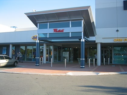
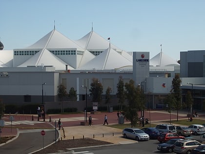
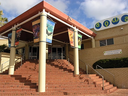
Nearby attractions include: Westfield Whitford City, Lakeside Joondalup Shopping City, Aquarium of Western Australia, Karrinyup Shopping Centre.
Frequently Asked Questions (FAQ)
When is Whitford Development Scheme open?
Whitford Development Scheme is open:
- Monday 9 am - 5:30 pm
- Tuesday 9 am - 5:30 pm
- Wednesday 9 am - 5:30 pm
- Thursday 9 am - 9 pm
- Friday 9 am - 5:30 pm
- Saturday 9 am - 5 pm
- Sunday 11 am - 5 pm
