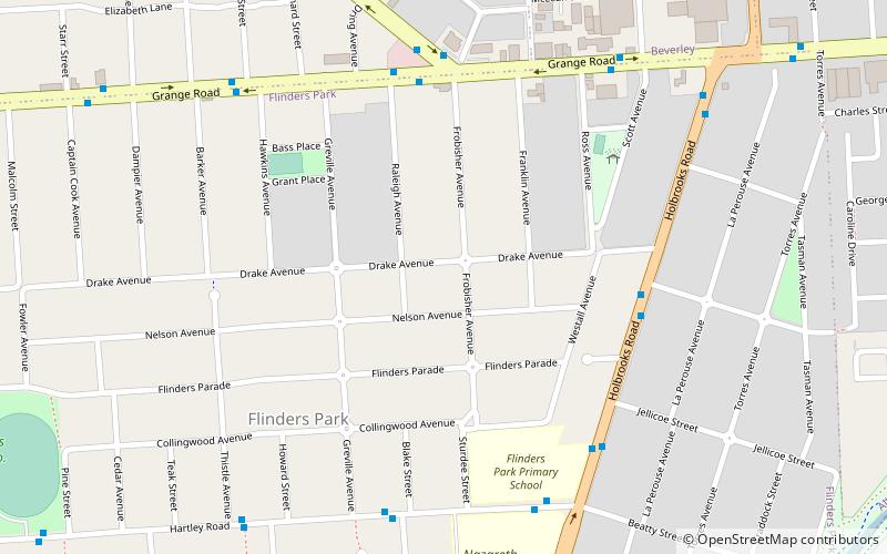
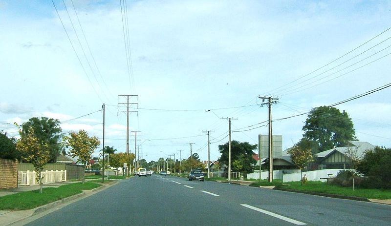
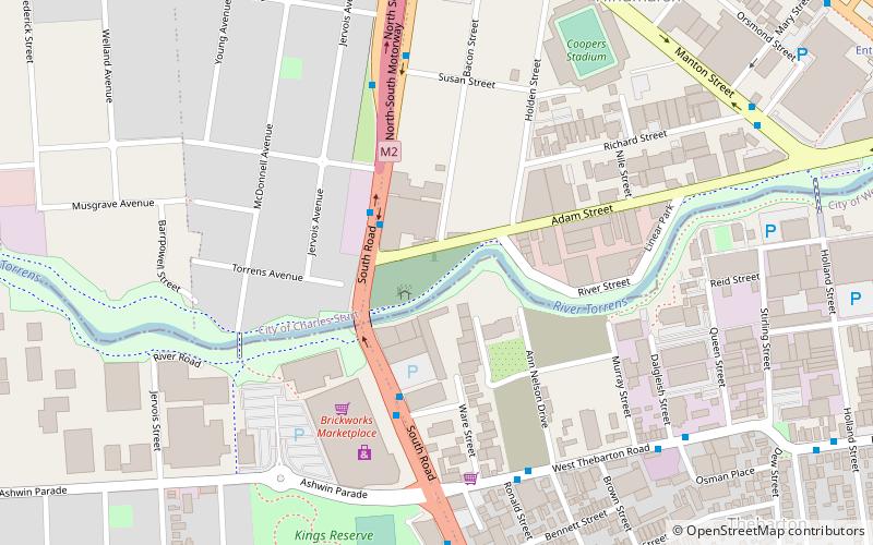
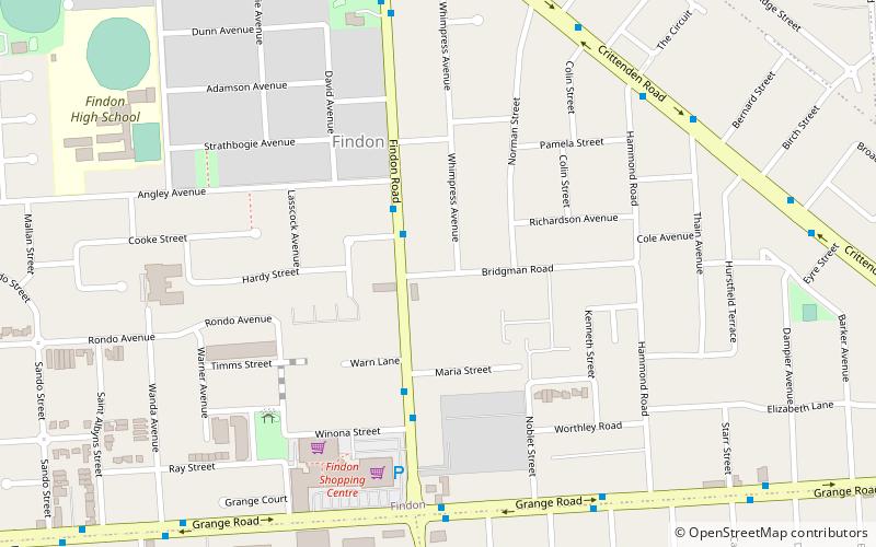
Flinders Park, Adelaide

Gallery (2)
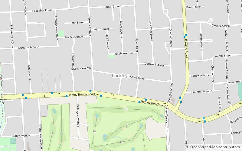
Map
Map
Gallery
Facts and practical information
Flinders Park is a western suburb of Adelaide, South Australia. It is located in the City of Charles Sturt. ()
Coordinates: 34°54'29"S, 138°32'46"E
Address
Flinders ParkAdelaide
ContactAdd
Social media
Add
Getting there by public transportation
Public transportation stops near this location
- Train
 Train
Train
- Calculate routeCroydon 33 min walk
- Calculate routeWest Croydon 33 min walk
Day trips


Frequently Asked Questions (FAQ)
How to get to Flinders Park by public transport?
The nearest stations to Flinders Park:
Train
Train
- Croydon (33 min walk)
- West Croydon (33 min walk)