George Street, Brisbane
Map
Gallery

Facts and practical information
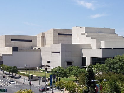
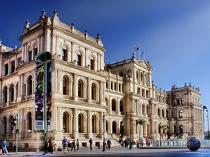
George Street is a main street located in the Brisbane CBD in Brisbane, Queensland, Australia. A major thoroughfare, George Street connects to the Queensland University of Technology as well as the state Botanical Gardens, to the commercial centre of Brisbane, Queen Street and Queen Street Mall. ()
Coordinates: 27°28'14"S, 153°1'23"E
Address
Brisbane CityBrisbane
ContactAdd
Social media
Add
Day trips
George Street – popular in the area (distance from the attraction)
Nearby attractions include: Queen Street Mall, QueensPlaza, The Myer Centre, Brisbane Arcade.
Frequently Asked Questions (FAQ)
Which popular attractions are close to George Street?
Nearby attractions include Brisbane Square Library, Brisbane (2 min walk), Treasury Casino, Brisbane (3 min walk), Treasury Building, Brisbane (3 min walk), Brisbane City Hall, Brisbane (3 min walk).
How to get to George Street by public transport?
The nearest stations to George Street:
Bus
Ferry
Train
Bus
- Adelaide Street stop 46 near City Plaza • Lines: 204 (2 min walk)
- Queen Street station, 1A • Lines: 100 (2 min walk)
Ferry
- North Quay 1 • Lines: Chop-400, Uqsl-1410 (5 min walk)
- North Quay 2 • Lines: Chop-400 (5 min walk)
Train
- Central (10 min walk)
- Roma Street (13 min walk)


