Seymour Shaw Park, Sydney

Map
Facts and practical information
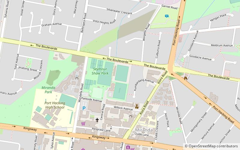
Seymour Shaw Park is a football stadium in Miranda, New South Wales, Australia. It is the current home ground of the Sutherland Sharks Football Club who play in the state league, the New South Wales Premier League. ()
Opened: 1950 (76 years ago)Capacity: 5000Coordinates: 34°1'49"S, 151°6'7"E
Address
Sutherland (Miranda)Sydney
ContactAdd
Social media
Add
Day trips
Seymour Shaw Park – popular in the area (distance from the attraction)
Nearby attractions include: Westfield Miranda, Hazelhurst Regional Gallery & Arts Centre, Joseph Banks Native Plants Reserve, Sylvania Heights.
Frequently Asked Questions (FAQ)
How to get to Seymour Shaw Park by public transport?
The nearest stations to Seymour Shaw Park:
Train
Train
- Miranda (11 min walk)
- Gymea (26 min walk)
 Sydney Trains
 Sydney Light Rail
 Sydney Ferries


