Goodwill Bridge, Brisbane
Map
Gallery
Facts and practical information
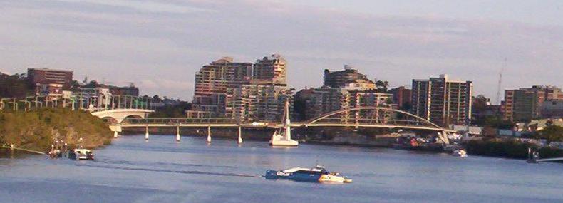
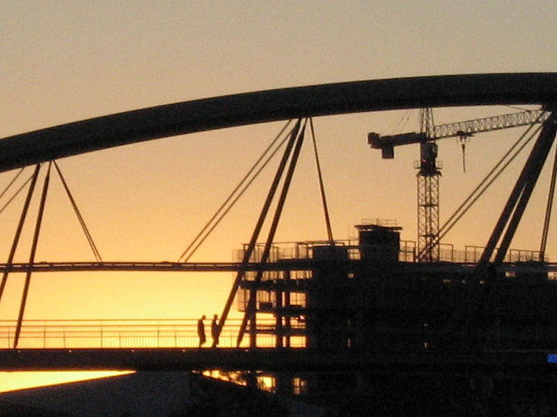
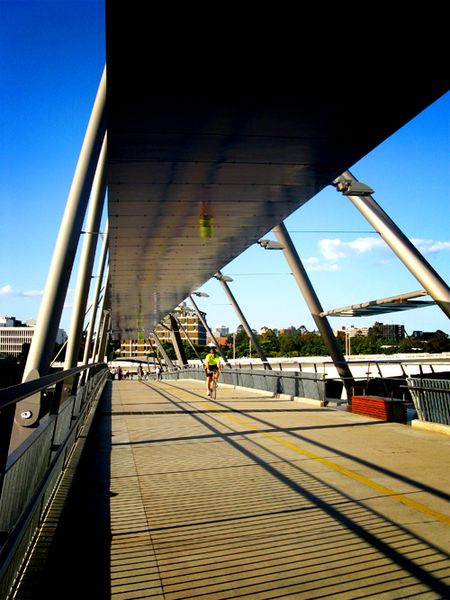
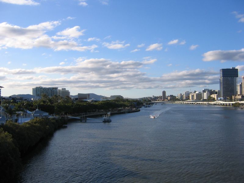
The Goodwill Bridge is a pedestrian and cyclist bridge which spans the Brisbane River in Brisbane, Queensland, Australia. The bridge connects the South Bank Parklands in South Brisbane to Gardens Point in the Brisbane CBD. ()
Alternative names: Opened: 21 October 2001 (24 years ago)Length: 1476 ftWidth: 21 ftCoordinates: 27°28'50"S, 153°1'37"E
Address
Goodwill BridgeSouth BrisbaneBrisbane 4000
ContactAdd
Social media
Add
Day trips
Goodwill Bridge – popular in the area (distance from the attraction)
Nearby attractions include: South Bank Parklands, City Botanic Gardens, Queensland Maritime Museum, Kangaroo Point Cliffs.
Frequently Asked Questions (FAQ)
Which popular attractions are close to Goodwill Bridge?
Nearby attractions include Forceful, Brisbane (2 min walk), Bulwer Island Light, Brisbane (2 min walk), HMAS Diamantina, Brisbane (3 min walk), South Brisbane Railway Easement, Brisbane (3 min walk).
How to get to Goodwill Bridge by public transport?
The nearest stations to Goodwill Bridge:
Ferry
Train
Bus
Ferry
- South Bank 3 Ferry Terminal • Lines: Chop-400 (4 min walk)
- Maritime Museum Ferry Terminal • Lines: Chop-400 (4 min walk)
Train
- South Bank (7 min walk)
- Park Road (24 min walk)
Bus
- Mater Hill (8 min walk)
- Mater Hill station, platform 1 • Lines: 100, 204, 61 (8 min walk)


