Hay Street, Perth
Map
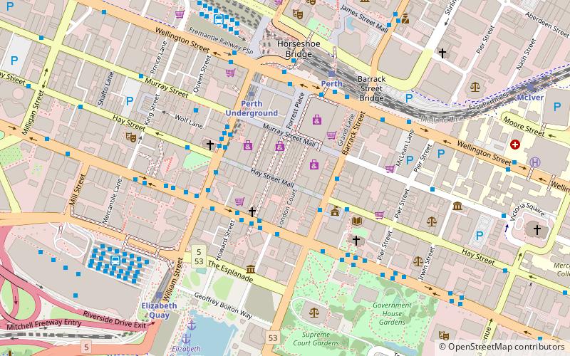
Map

Facts and practical information
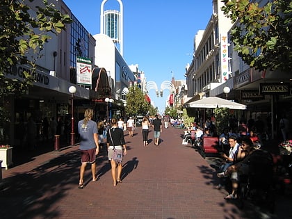
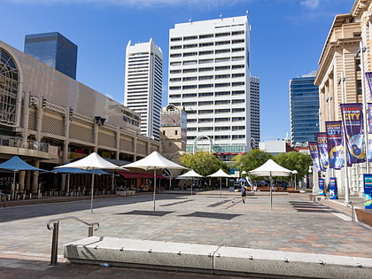
Hay Street is a major road through the central business district of Perth, Western Australia and adjacent suburbs. The street was named after Robert William Hay, the Permanent Under Secretary for Colonies. Sections of the road were called Howick Street and Twiss Street until 1897. One block in the central business section is now a pedestrian mall with extremely limited vehicular traffic, so that it is necessary to make a significant detour in order to drive the entire length of Hay Street. ()
Coordinates: 31°57'15"S, 115°51'32"E
Address
Hay StPerth CBDPerth 6000
ContactAdd
Social media
Add
Day trips
Hay Street – popular in the area (distance from the attraction)
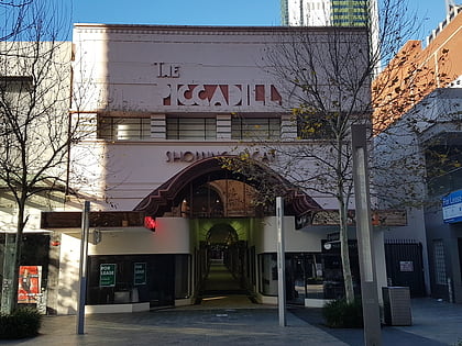
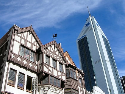
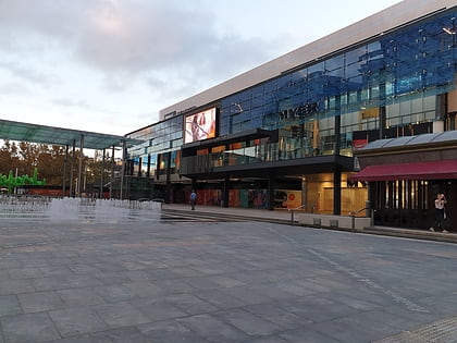
Nearby attractions include: Piccadilly Theatre and Arcade, London Court, Forrest Chase, Carillon City.
Frequently Asked Questions (FAQ)
Which popular attractions are close to Hay Street?
Nearby attractions include 100 St Georges Terrace, Perth (2 min walk), Murray Street, Perth (2 min walk), Perth Town Hall, Perth (3 min walk), Trinity Arcade, Perth (3 min walk).
How to get to Hay Street by public transport?
The nearest stations to Hay Street:
Bus
Train
Ferry
Bus
- William Street Stand 2 • Lines: 60 (4 min walk)
- Town Hall • Lines: 2 (4 min walk)
Train
- Perth (6 min walk)
- Elizabeth Quay (8 min walk)
Ferry
- Elizabeth Quay Ferry Terminal • Lines: Transperth Ferry - Elizabeth Qua, Transperth Ferry - Mends Street (9 min walk)
- Barrack Street Jetty • Lines: Express (12 min walk)
