Middle Harbour, Sydney
Map

Gallery

Facts and practical information
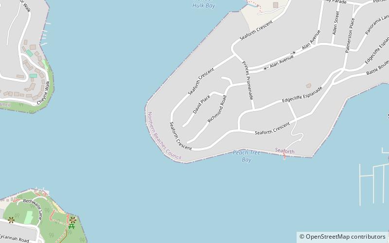
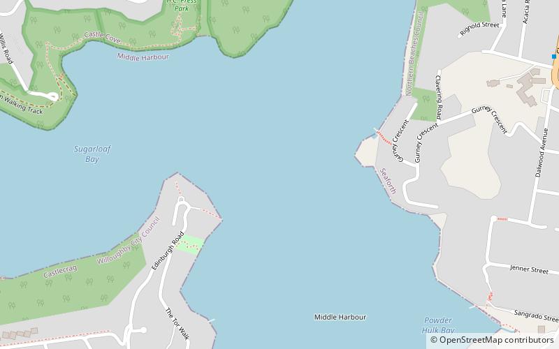
Middle Harbour, a semi–mature tide dominated drowned valley estuary, is the northern arm of Port Jackson, an inlet of the Tasman Sea located north of Sydney central business district on the coast of New South Wales, Australia. ()
Length: 6.21 miCoordinates: 33°48'10"S, 151°14'13"E
Address
Manly (Seaforth)Sydney
ContactAdd
Social media
Add
Day trips
Middle Harbour – popular in the area (distance from the attraction)
Nearby attractions include: Spit Bridge, Parriwi Head Light, Middle Harbour Creek, Northbridge Golf Club.
Frequently Asked Questions (FAQ)
Which popular attractions are close to Middle Harbour?
Nearby attractions include Spit Bridge, Sydney (14 min walk), Middle Harbour Creek, Sydney (16 min walk), Parriwi Head Light, Sydney (21 min walk).
How to get to Middle Harbour by public transport?
The nearest stations to Middle Harbour:
Bus
Bus
- Upper Beach St after Maretimo St • Lines: 132 (29 min walk)

 Sydney Trains
 Sydney Light Rail
 Sydney Ferries


