Horseshoe Bridge, Perth
Map
Gallery
Facts and practical information
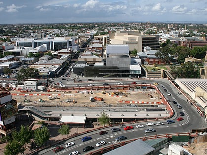
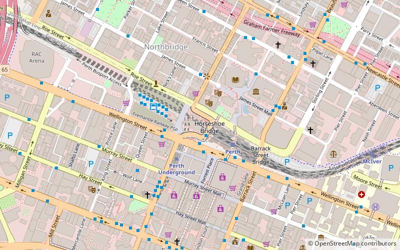
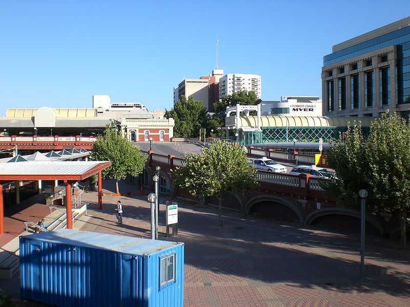
The Horseshoe Bridge in Perth, Western Australia, connects the Perth CBD to Northbridge, carrying William Street over the Fremantle railway line. It was constructed in 1904, with the horseshoe shape designed to fit the approach ramps into a constricted site. The bridge was closed from the end of 2009 to early 2010 to enable conversion to two-way traffic flow. ()
Coordinates: 31°57'3"S, 115°51'32"E
Address
William StPerth CBDPerth 6000
ContactAdd
Social media
Add
Day trips
Horseshoe Bridge – popular in the area (distance from the attraction)
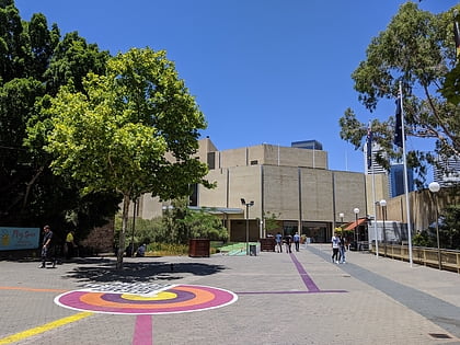
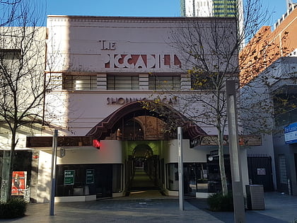
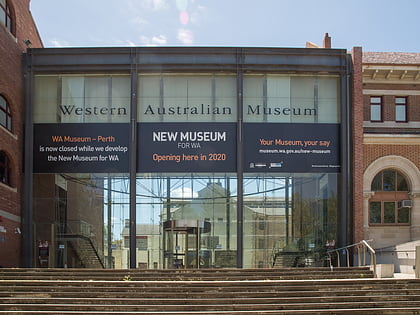
Nearby attractions include: Art Gallery of Western Australia, Piccadilly Theatre and Arcade, Western Australian Museum, London Court.
Frequently Asked Questions (FAQ)
Which popular attractions are close to Horseshoe Bridge?
Nearby attractions include Yagan Square, Perth (1 min walk), Swan Valley Tours, Perth (2 min walk), State Theatre Centre of Western Australia, Perth (2 min walk), Perth Institute of Contemporary Arts, Perth (3 min walk).
How to get to Horseshoe Bridge by public transport?
The nearest stations to Horseshoe Bridge:
Bus
Train
Ferry
Bus
- Horseshoe Bridge • Lines: 1 (1 min walk)
- Wellington Street after William Street • Lines: 60 (2 min walk)
Train
- Perth (3 min walk)
- McIver (12 min walk)
Ferry
- Elizabeth Quay Ferry Terminal • Lines: Transperth Ferry - Elizabeth Qua, Transperth Ferry - Mends Street (14 min walk)
- Barrack Street Jetty • Lines: Express (18 min walk)
