Mount Blaxland

Map
Facts and practical information
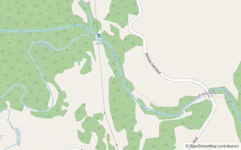
Mount Blaxland, actually a hill, is located about 15 kilometres south of Lithgow. It was the furthest point reached by Blaxland, Lawson, and Wentworth on their historic 1813 crossing of the Blue Mountains. ()
Coordinates: 33°32'54"S, 150°7'5"E
Location
New South Wales
ContactAdd
Social media
Add
Day trips
Mount Blaxland – popular in the area (distance from the attraction)
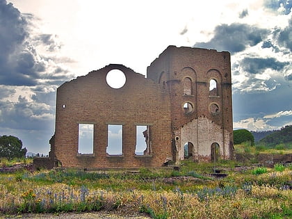
Nearby attractions include: Blast Furnace Park, Eskbank House, Cooerwull railway footbridge, Lithgow Small Arms Factory Museum.


