Chinatown, Gold Coast
Map

Map

Facts and practical information
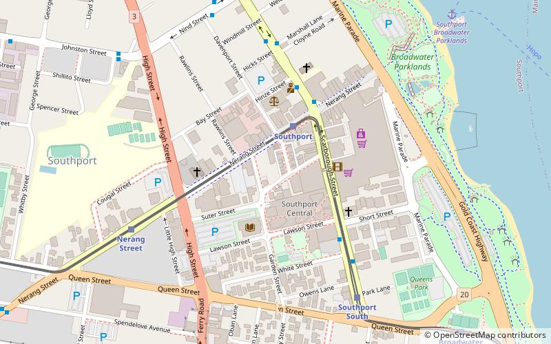
Gold Coast Chinatown in Gold Coast, Queensland, Australia is focused on Davenport and Young Streets, and includes the connecting laneways and parts of Nerang, Garden and Scarborough Streets, Southport. Gold Coast Chinatown is part of the revitalisation of Southport as a central business district for the Gold Coast. ()
Coordinates: 27°58'9"S, 153°24'47"E
Address
SouthportGold Coast
ContactAdd
Social media
Add
Day trips
Chinatown – popular in the area (distance from the attraction)
Nearby attractions include: Sea World, Castaway Bay, Nickelodeon Land, Shark Bay.
Frequently Asked Questions (FAQ)
Which popular attractions are close to Chinatown?
Nearby attractions include Southport Central, Gold Coast (4 min walk), Southport Courthouse, Gold Coast (4 min walk), Southport, Gold Coast (11 min walk), Southport Broadwater Parklands, Gold Coast (11 min walk).
How to get to Chinatown by public transport?
The nearest stations to Chinatown:
Tram
Bus
Ferry
Train
Tram
- Southport Station • Lines: G:Link (3 min walk)
- Nerang Street Station • Lines: G:Link (8 min walk)
Bus
- Southport bus station, stop A • Lines: 712, 713, 719 (4 min walk)
- Scarborough St at Marshall Lane • Lines: 712, 713, 719 (7 min walk)
Ferry
- Southport Broadwater Parklands • Lines: Hopo (12 min walk)
- Marina Mirage • Lines: Hopo (19 min walk)
Train
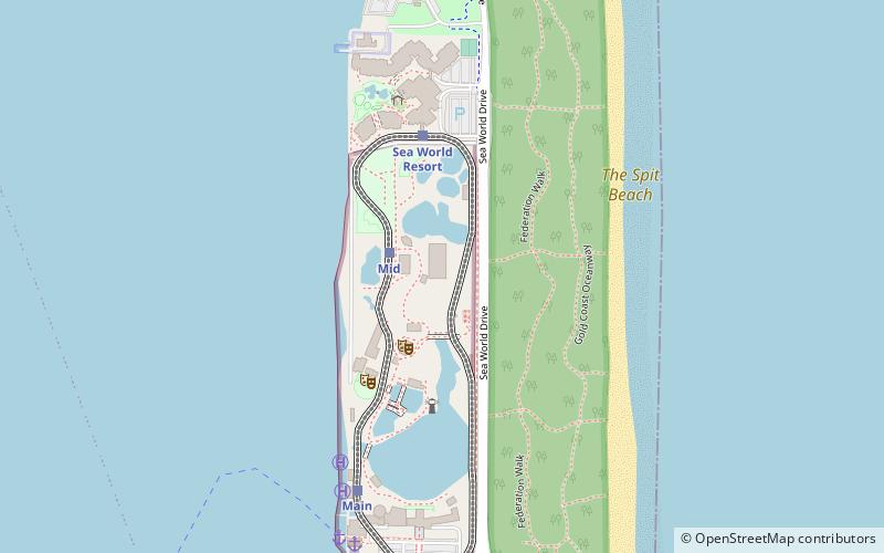
- Monorail Main Station (25 min walk)
- Monorail Mid Station (30 min walk)


