Goulburn Weir
Map

Map

Facts and practical information
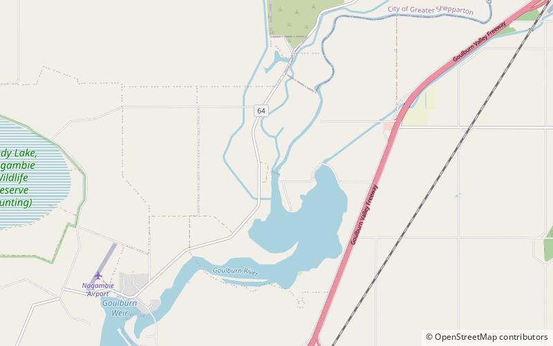
Goulburn Weir is a weir built between 1887 and early 1891 across the Goulburn River near Nagambie, Victoria, Australia. It was the first major diversion structure built for irrigation development in Australia. The weir also forms Lake Nagambie where rowing regattas and waterskiing tournaments are held. ()
Elevation: 413 ft a.s.l.Coordinates: 36°43'2"S, 145°10'12"E
Location
Victoria
ContactAdd
Social media
Add
Day trips
Goulburn Weir – popular in the area (distance from the attraction)
Nearby attractions include: Lake Nagambie.

