Kingsway, Melbourne

Map
Facts and practical information
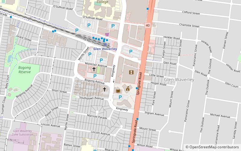
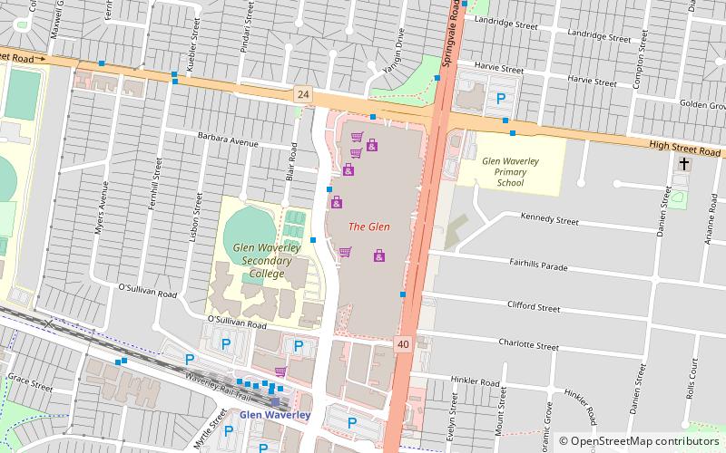
Kingsway is a shopping, dining and entertainment precinct at the town center of Glen Waverley, a southeastern suburb of Melbourne, Victoria, Australia. It starts off at the northern end from High Street, and runs north-south parallel to Springvale Road before curving east at its southern end to join the latter as a T-intersection. ()
Coordinates: 37°52'53"S, 145°9'50"E
Address
Monash (Glen Waverly)Melbourne
ContactAdd
Social media
Add
Day trips
Kingsway – popular in the area (distance from the attraction)
Nearby attractions include: The Glen Shopping Centre, Victoria Police Academy, Pinewood Shopping Village, Casey Central.
Frequently Asked Questions (FAQ)
How to get to Kingsway by public transport?
The nearest stations to Kingsway:
Bus
Train
Bus
- Monash Civic Centre • Lines: 623, 736, 742, 753, 850, 885, 902 (3 min walk)
- Glen Waverley Station • Lines: 902 (4 min walk)
Train
- Glen Waverley (5 min walk)
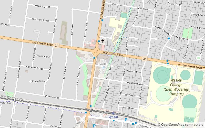
- Syndal (22 min walk)
 Melbourne Trams
 Victoria Trains


