Blue Rock Dam

Gallery (4)
Map

Map
Gallery
Facts and practical information
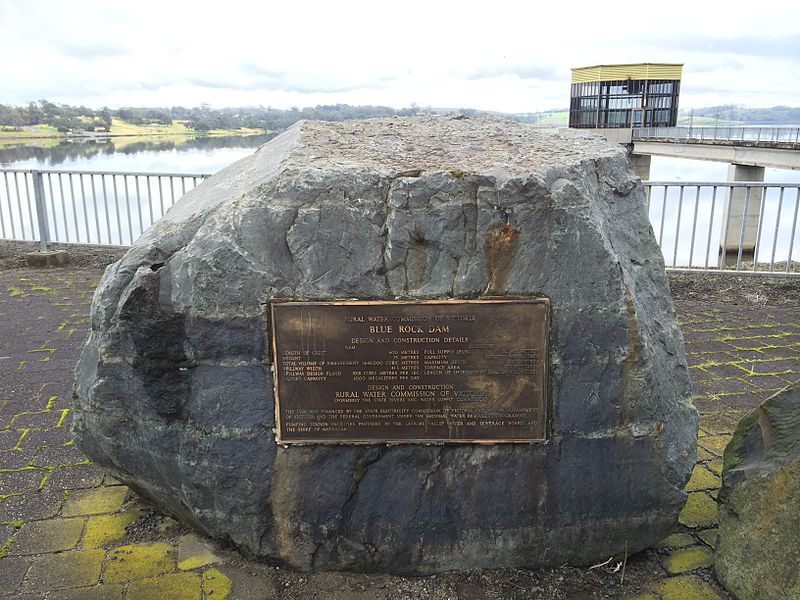
The Blue Rock Dam is a minor rock-fill embankment dam with controlled chute spillway across the Tanjil River, located approximately 30 kilometres north of Moe, in the Central Gippsland region of Victoria, Australia. The dam is operated by Southern Rural Water. ()
Opened: 1984 (42 years ago)Area: 3.47 mi²Length: 1969 ftHeight: 236 ftReservoir area: 3.37 mi²Coordinates: 38°3'39"S, 146°11'60"E