Kiama Light, Kiama
#1 among attractions in Kiama
![Kiama Light location map](https://tzmedia.b-cdn.net/media/images/static-maps/au/-34_6718_150_862.jpg)
Facts and practical information
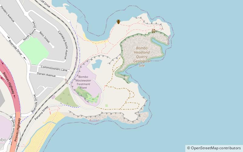
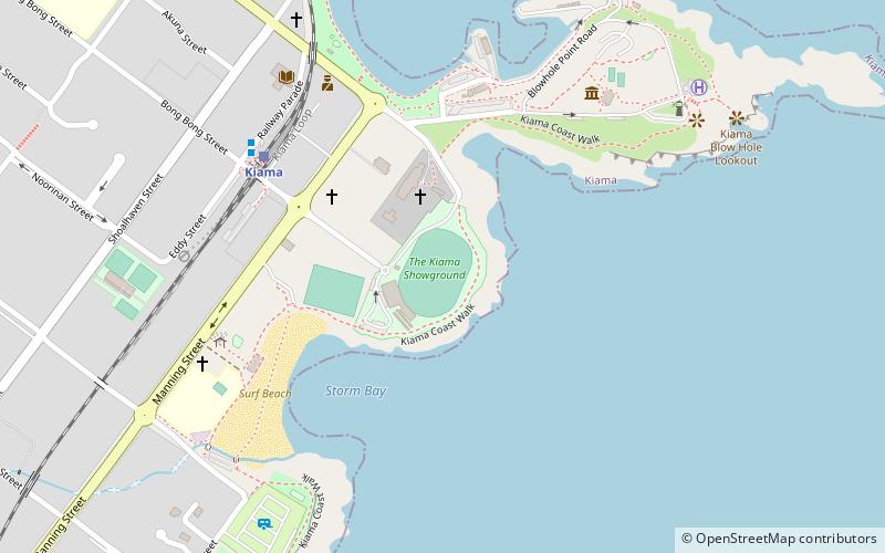
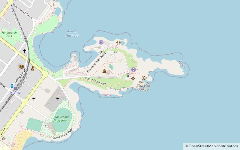
Kiama Light, also known as Kiama Harbour Light, is an active lighthouse in Kiama, New South Wales, Australia. The lighthouse is located close to the Kiama Blowhole on Blowhole Point, south of Kiama Harbour. ()
Kiama Australia
Kiama plan & book
Unleash the traveler in you — discover the cheapest flight deals, find the perfect hotel or hostel nearby, and search for the best car rental prices. Travel at your own pace to discover new places and enjoy your journey.
Kiama Light – popular in the area (distance from the attraction)
Nearby attractions include: Jamberoo Action Park, Bass Point Reserve, Kiama Blowhole, St Stephen's Presbyterian Church.
5.9 miNWAmusement parkJamberoo Action Park, Jamberoo
151 min walk • Jamberoo Action Park is a large and expansive themed water park at Jamberoo, New South Wales. It is approximately 34 km from Nowra, 15 minutes from Kiama, 30 minutes south of Wollongong and a little over an hour south of Sydney.
5.6 miNParkBass Point Reserve, Shellharbour
143 min walk • Bass Point Reserve is a heritage-listed former cedar timber industry, Aboriginal camping, meeting place, pastoral property and basalt mine and now nature conservation and passive recreation area located at Boollwarroo Parade, Shell Cove in the City of Shellharbour local government area of New South Wales, Australia.
~300 ftEPopular blowhole along the coastKiama Blowhole, Kiama
2 min walk • The Kiama Blowhole is a blowhole in the town of Kiama, New South Wales, Australia. The name ‘Kiama’ has long been translated as “where the sea makes a noise”. It is one of the town's major tourist attractions.
5.2 miWChurchSt Stephen's Presbyterian Church, Jamberoo
134 min walk • St Stephen's Presbyterian Church is a heritage-listed former Presbyterian church at 2 Allowrie Street, Jamberoo, Municipality of Kiama, New South Wales, Australia. It was designed by John Colley and built in 1875 by John and James Marks, D. L. Dymock and W. Stewart.
5.1 miNParkKillalea, Shellharbour
130 min walk • Killalea State Park is a state park in New South Wales, Australia.
1.4 miNNature, Natural attraction, WaterfallBoneyard Falls, Kiama
36 min walk • The Boneyard Falls are an overflow of waves located at Bombo on the Bombo Headland, near Kiama on the south coast of New South Wales, Australia.
4 miSWNature, Natural attraction, MountainSaddleback Mountain
103 min walk • Saddleback Mountain is a mountain near Kiama in the Illawarra region of New South Wales, Australia.
2.8 miNSurfingJones Beach
73 min walk • Jones Beach, also known as Boyds Beach, is a beach on the south-eastern coast of Australia, facing the Tasman Sea. The beach is east of the settlement of Kiama Downs and about 2 kilometres south by east of the settlement of Minnamurra in the Illawarra and South Coast regions of New South Wales.
1 miWDamKiama Reservoirs, Kiama
27 min walk • The Kiama Reservoirs are heritage-listed reservoirs at Irvine Street, Kiama, Municipality of Kiama, New South Wales, Australia. They are owned by Sydney Water. It was added to the New South Wales State Heritage Register on 15 November 2002.
5.5 miSTownGerringong
140 min walk • One of the main attractions in Gerringong is Werri Beach, a beautiful stretch of coastline that is perfect for swimming, surfing, and sunbathing. The beach is also popular for its picturesque coastal walks, offering breathtaking views of the ocean and surrounding...
~1550 ftSWSport, Arenas and stadiums, Sport venueKiama Showground, Kiama
8 min walk • The Kiama Showground is a sports and entertainment complex of the South Coast-Illawarra region in the coastal town of Kiama. The complex includes two ovals, the Showring and Chittick Oval.