Lewis Bandt Bridge, Geelong
Map

Gallery

Facts and practical information
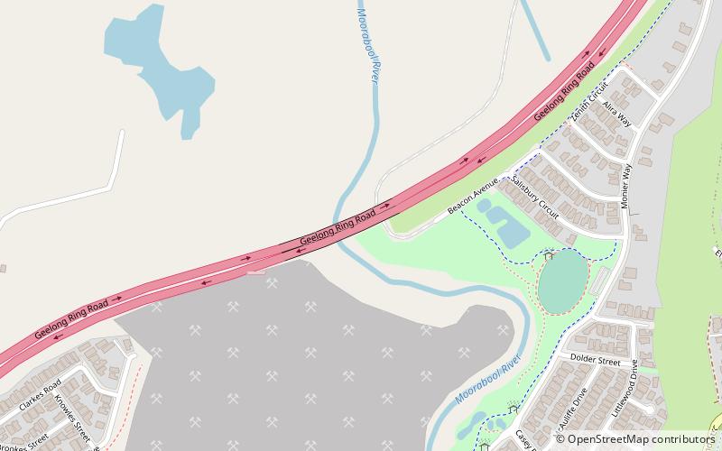
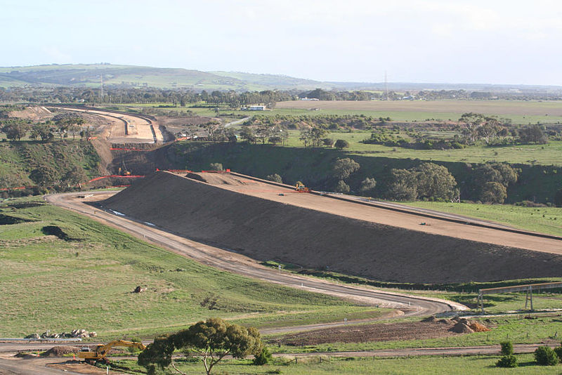
The Lewis Bandt Bridge is an Australian feature bridge over the Moorabool River, close to the southern end of Stage 2 of the Geelong Ring Road. ()
Opened: 14 December 2008 (17 years ago)Coordinates: 38°8'1"S, 144°18'29"E
Address
Geelong
ContactAdd
Social media
Add
Day trips
Lewis Bandt Bridge – popular in the area (distance from the attraction)
Nearby attractions include: Market Square Shopping Centre, Westfield Geelong, Kardinia Park Stadium, Johnstone Park.
Frequently Asked Questions (FAQ)
How to get to Lewis Bandt Bridge by public transport?
The nearest stations to Lewis Bandt Bridge:
Bus
Bus
- Buckley Falls Road • Lines: 43 (30 min walk)


