MacCabe Park, Wollongong

Map
Facts and practical information
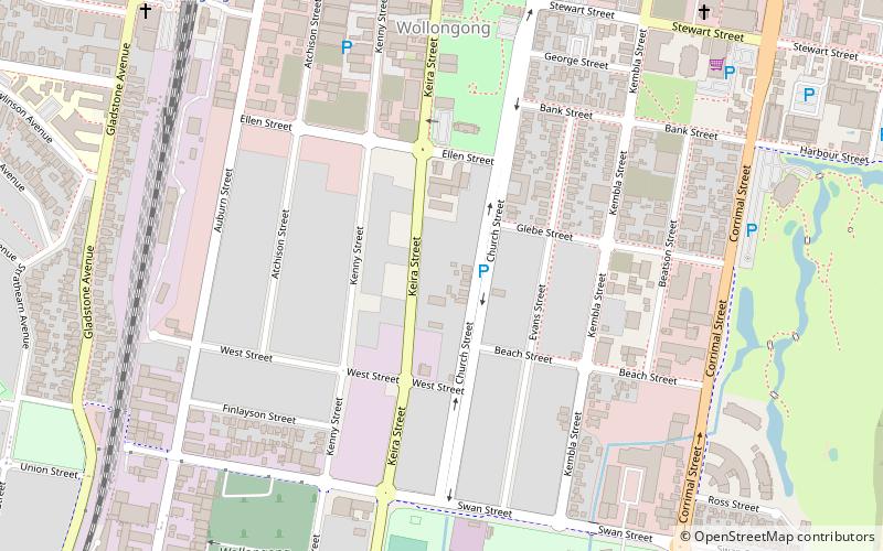
MacCabe Park is a small park located in the City of Wollongong, Australia. It is commonly misspelt McCabe Park, though the sign has since been changed to its correct name. In 1855 a land grant was made to Governor Brown, the present site of the park. ()
Elevation: 23 ft a.s.l.Coordinates: 34°25'54"S, 150°53'35"E
Address
Wollongong
ContactAdd
Social media
Add
Day trips
MacCabe Park – popular in the area (distance from the attraction)
Nearby attractions include: Wollongong Entertainment Centre, Wollongong Central, Wollongong Head Lighthouse, Wollongong Breakwater Lighthouse.
Frequently Asked Questions (FAQ)
Which popular attractions are close to MacCabe Park?
Nearby attractions include St Michael's Cathedral, Wollongong (16 min walk), St Francis Xavier's Cathedral, Wollongong (17 min walk), Old Wollongong Telegraph and Post Office, Wollongong (18 min walk), Market Square, Wollongong (19 min walk).
How to get to MacCabe Park by public transport?
The nearest stations to MacCabe Park:
Bus
Train
Bus
- Wollongong Station (11 min walk)
Train
- Wollongong (11 min walk)
- Coniston (16 min walk)


