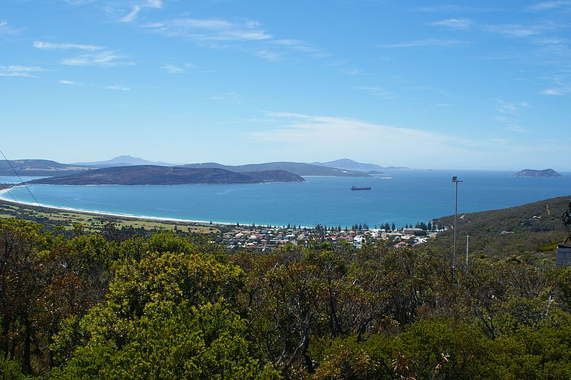
Michaelmas Island

Gallery (3)
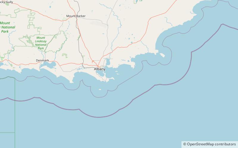
Map
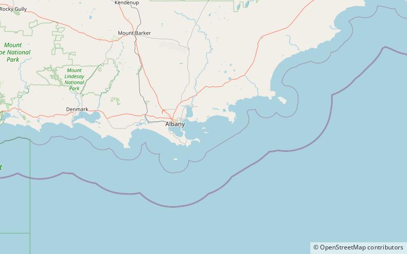
Map
Gallery
Facts and practical information
Michaelmas Island is an island located in King George Sound near Albany, Western Australia. ()
Coordinates: 35°2'19"S, 118°2'10"E
Location
Western Australia
ContactAdd
Social media
Add
Day trips