Wilsons Peak
Map

Map

Facts and practical information
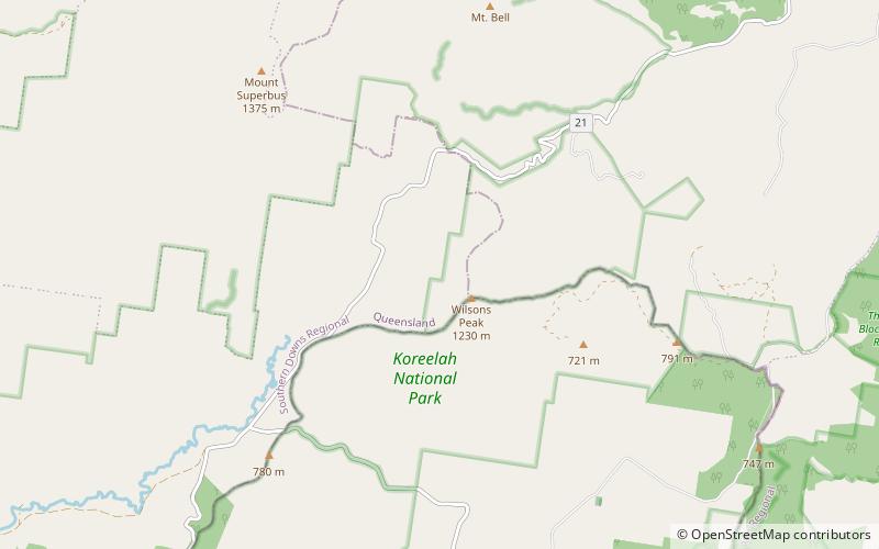
Wilsons Peak 1,230 m is a mountain on the border of New South Wales and Queensland, Australia. Much of which is covered in rainforest. It marks the intersection of the Great Dividing Range with the McPherson Range in the Scenic Rim region. ()
Elevation: 4035 ftCoordinates: 28°15'0"S, 152°28'59"E
Location
Queensland
ContactAdd
Social media
Add
Day trips
Wilsons Peak – popular in the area (distance from the attraction)
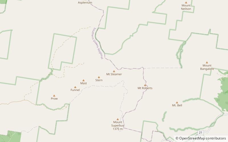
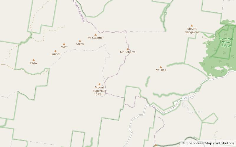
Nearby attractions include: Teviot Falls, Mount Steamer, Mount Superbus.


