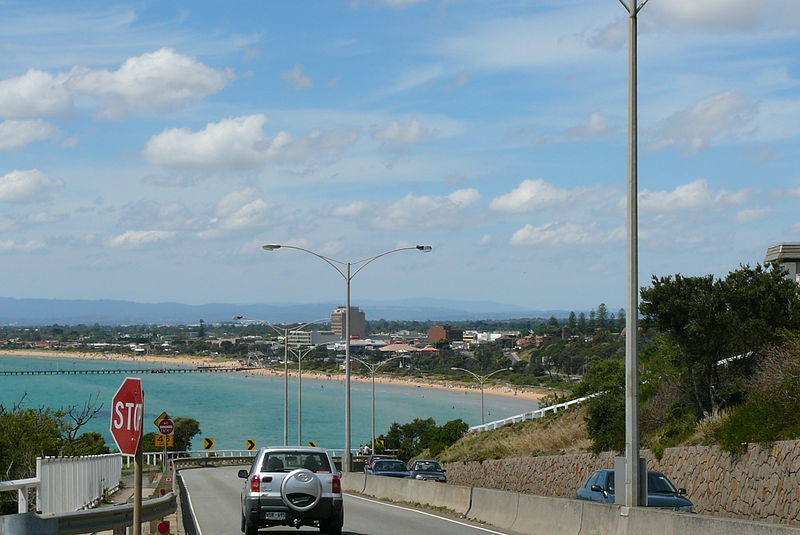
Olivers Hill, Melbourne
Map

Gallery

Facts and practical information
Olivers Hill is a locality located in the City of Frankston, Victoria in Australia. It is the first major rise in terrain along the eastern coastline of Port Phillip, between Melbourne and the Mornington Peninsula. It was named after local Frankston fisherman, James Oliver, who built the first cottage atop the hill in the mid-19th century, from where he kept watch for fish in the waters below. ()
Coordinates: 38°9'22"S, 145°6'25"E
Day trips
Olivers Hill – popular in the area (distance from the attraction)
Nearby attractions include: Bayside Shopping Centre, Frankston Arts Centre, Melbourne/Frankston, Frankston Library.
Frequently Asked Questions (FAQ)
How to get to Olivers Hill by public transport?
The nearest stations to Olivers Hill:
Bus
Train
Bus
- Frankston Station • Lines: 901 (34 min walk)
Train
- Frankston (36 min walk)

 Melbourne Trams
 Victoria Trains


