Redesdale Bridge

Gallery (1)
Map
Map
Facts and practical information
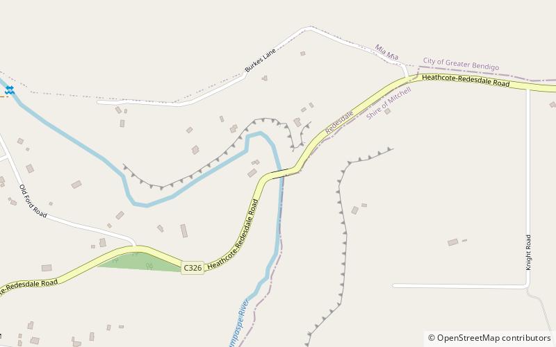
The Redesdale Bridge is one of the oldest iron lattice-truss bridges in Victoria, Australia. The Redesdale Bridge is a wrought iron and timber structure with bluestone abutments, located over the Campaspe River near the town of Redesdale. ()
Opened: 1868 (158 years ago)Length: 197 ftWidth: 47 ftCoordinates: 37°0'57"S, 144°32'28"E
Location
Victoria
ContactAdd
Social media
Add
Day trips
Redesdale Bridge – popular in the area (distance from the attraction)
Nearby attractions include: Redesdale.
